Transport Functions
Multimodal
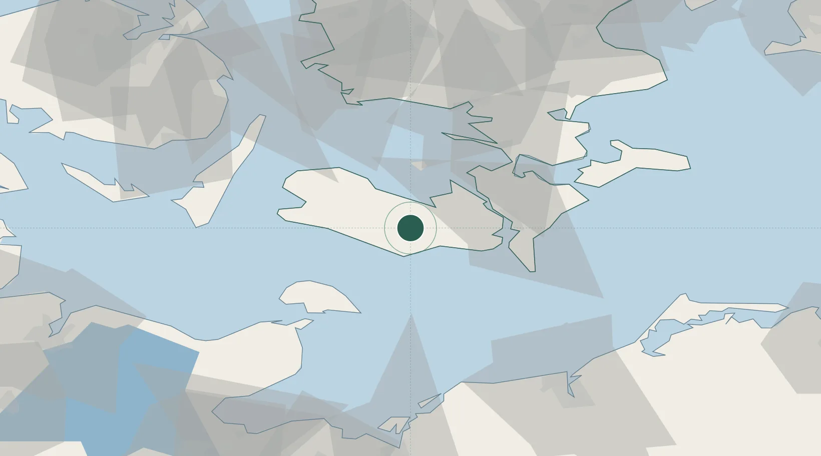
Hub Profile
Place type
Populated place
Region
Zealand
Time zone
Europe/Copenhagen
Elevation
20 m
Location
Nearby Logistics Neighbours
Cities
- 1Nørreballe9 km
- 2Rødby9 km
- 3Reersoe10 km
- 4Rødbyhavn13 km
- 5Kettinge17 km
Ports
- 1Bandholm11 km
- 2Sakskobing11 km
- 3Rodby Havn13 km
- 4Nysted17 km
- 5Nykobing24 km
Airports
- 1Lolland Falster Maribo Airport6 km
- 2Sydfyn (Tasinge) Airfield68 km
- 3Ærø Airfield68 km
- 4Ringsted Airfield79 km
- 5Kiel-Holtenau Airport96 km
Trade Zones
DatabookThe Record of Consolidated Knowledge
Denmark beyond logistics?