Transport Functions
Port
Road
Hub Profile
Place type
Populated place
Region
Zealand
Time zone
Europe/Copenhagen
Elevation
44 m
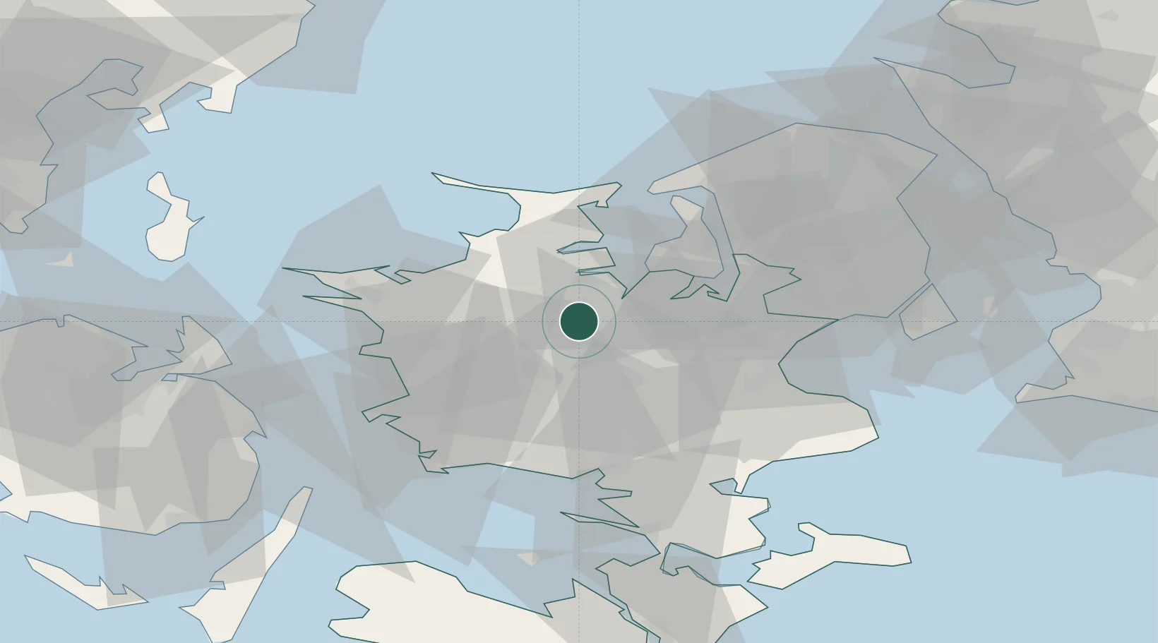
Location
Nearby Logistics Neighbours
Cities
- 1Tølløse6 km
- 2Store Merløse6 km
- 3Hvalsø12 km
- 4Dianalund15 km
- 5Gislinge17 km
Ports
- 1Holbaek13 km
- 2Kyndbyvaerkets28 km
- 3Frederikssund35 km
- 4Kalundborg37 km
- 5Koge38 km
Airports
Trade Zones
DatabookThe Record of Consolidated Knowledge
Denmark beyond logistics?