Seaport · Denmark
Hundested HavnDKHUN
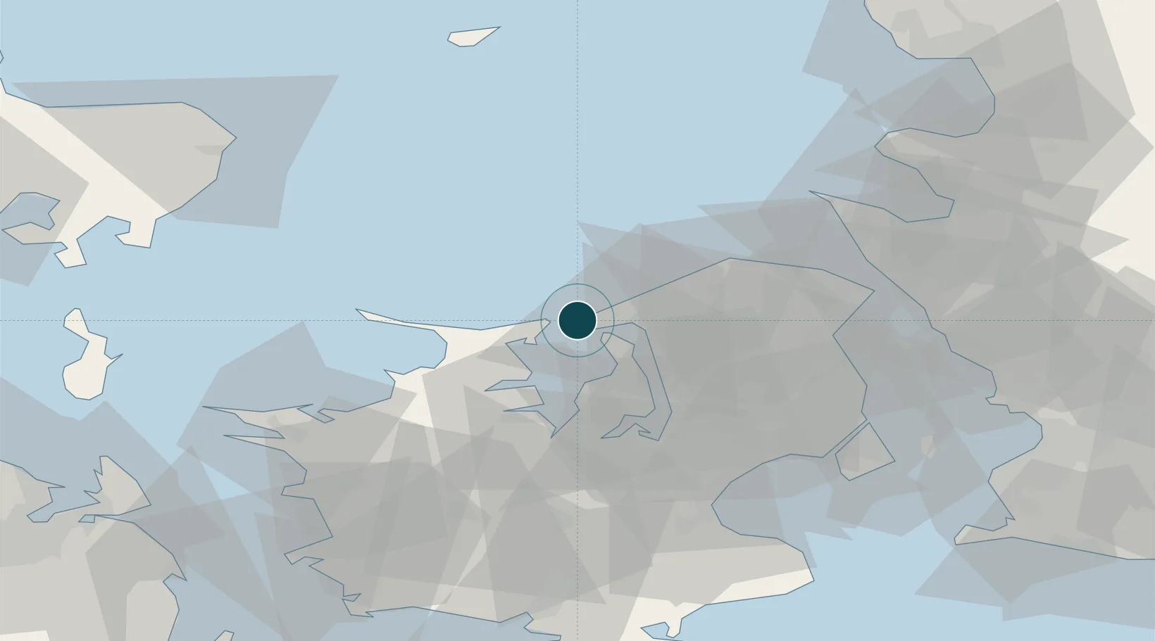
55.9667°, 11.8500°
3.4 m
Channel depth
12.1
Port liner connectivity
Channel & Berth Profile
Pilotage, Tugs & Services
Pilotage compulsoryYES
Pilotage availableYES
Potable waterYES
Diesel bunkersYES
Facilities & Capabilities
ContainerYES
Ro-RoNO
Liquid bulkNO
Dry bulkYES
Oil terminalNO
Break bulkYES
Dry dock—
RepairsNO
Bunkering—
Rail linkYES
Dangerous cargo—
ISPS security—
Harbour Specifications
Harbour size
Very Small
Harbour type
Coastal (Breakwater)
Shelter
Fair
Water body
Kattegat; North Atlantic Ocean
Overhead limit
Yes
Pilotage
Yes
Liner Connectivity
12.1
PLSCI
Port Liner Shipping Connectivity Index for Hundested Havn, as published by UNCTAD for the latest available quarter. Higher values indicate stronger scheduled liner-shipping integration.
Shown relative to the highest per-port PLSCI in the dataset (1,657.9).
Location
Nearby Logistics Neighbours
Ports
- 1Frederiksvaerk10 km
- 2Kyndbyvaerkets17 km
- 3Frederikssund19 km
- 4Holbaek29 km
- 5Helsingor48 km
Cities
- 1Nykobing Sjaelland13 km
- 2Tisvildeleje17 km
- 3Eskilstrup19 km
- 4Frederikssund20 km
- 5Vejby22 km
Airports
Trade Zones
DatabookThe Record of Consolidated Knowledge
Denmark beyond logistics?