Transport Functions
Port
Road
Hub Profile
Place type
Populated place
Region
Zealand
Time zone
Europe/Copenhagen
Elevation
47 m
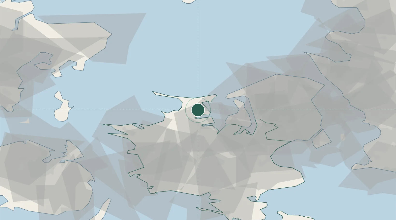
Location
Nearby Logistics Neighbours
Cities
- 1Grævinge8 km
- 2Nykobing Sjaelland8 km
- 3Gislinge14 km
- 4Kirke Hyllinge24 km
- 5Frederikssund27 km
Ports
- 1Holbaek16 km
- 2Kyndbyvaerkets16 km
- 3Hundested Havn19 km
- 4Frederikssund26 km
- 5Frederiksvaerk27 km
Airports
- 1Copenhagen Roskilde Airport43 km
- 2Ringsted Airfield48 km
- 3København Vandflyveplads63 km
- 4Copenhagen Kastrup Airport69 km
- 5Aarhus Airport81 km
Trade Zones
DatabookThe Record of Consolidated Knowledge
Denmark beyond logistics?