Channel & Berth Profile
Pilotage, Tugs & Services
Pilotage compulsoryNO
Pilotage availableYES
Pilotage advisableYES
Tug assistanceNO
Salvage tugsNO
Potable waterYES
Diesel bunkersYES
MedicalYES
Facilities & Capabilities
Container—
Ro-Ro—
Liquid bulk—
Dry bulk—
Oil terminal—
Break bulk—
Dry dock—
Repairs—
BunkeringYES
Rail linkYES
Dangerous cargo—
ISPS security—
Harbour Specifications
Harbour size
Very Small
Harbour type
Coastal (Breakwater)
Shelter
Good
Water body
Kattegat; North Atlantic Ocean
Tidal range
1 m
Overhead limit
Yes
Pilotage
No
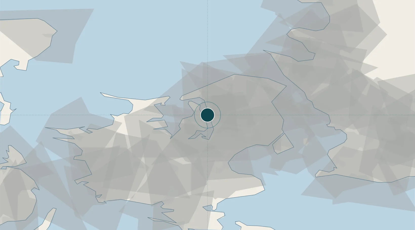
Location
Nearby Logistics Neighbours
Ports
- 1Kyndbyvaerkets11 km
- 2Frederiksvaerk15 km
- 3Hundested Havn19 km
- 4Holbaek25 km
- 5Tuborg36 km
Cities
- 1Ølstykke8 km
- 2Veksø16 km
- 3Kirke Hyllinge17 km
- 4Målov20 km
- 5Tisvildeleje24 km
Airports
Trade Zones
DatabookThe Record of Consolidated Knowledge
Denmark beyond logistics?