Transport Functions
Rail
Road
Hub Profile
Region
83
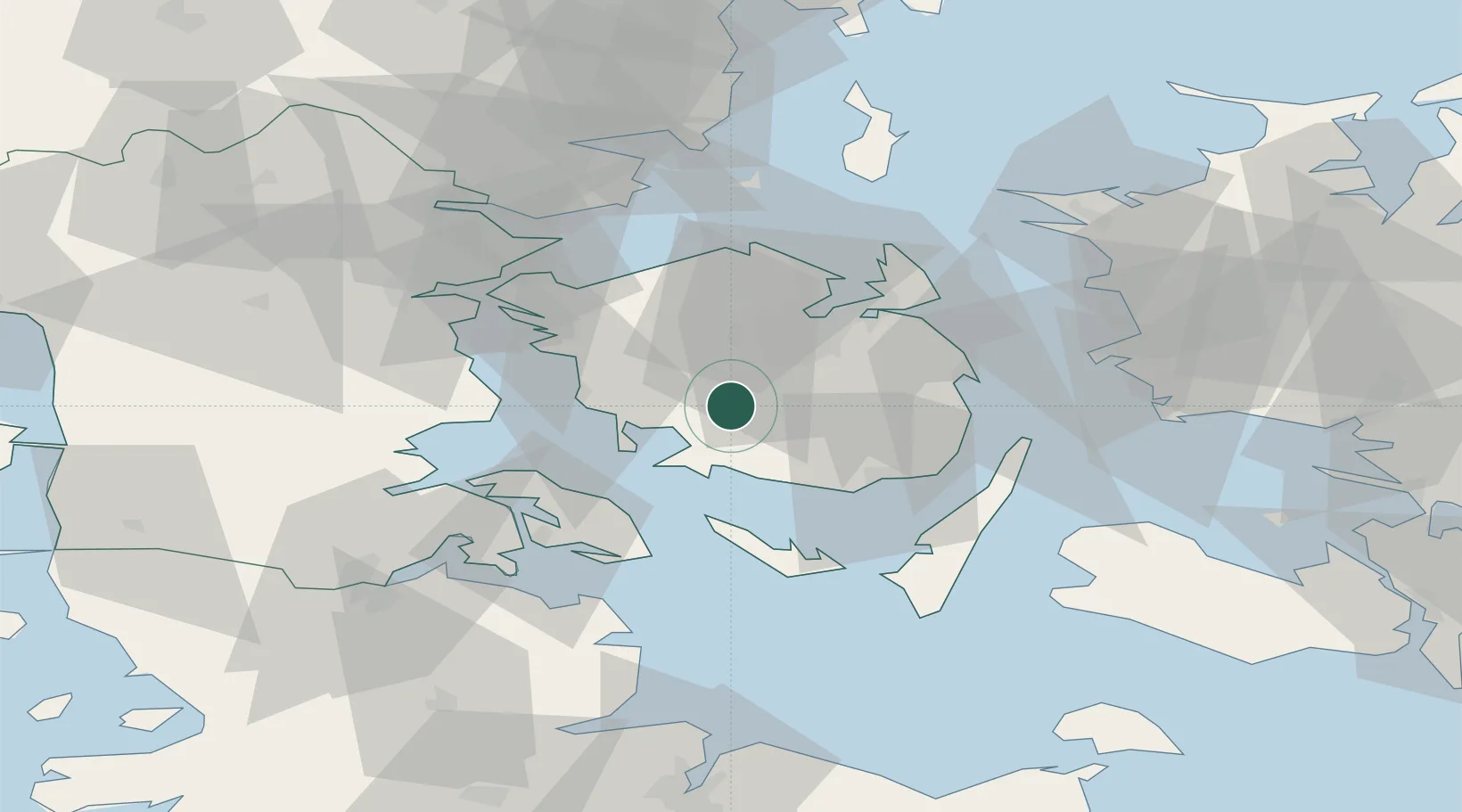
Location
Nearby Logistics Neighbours
Airports
- 1Odense Hans Christian Andersen Airport27 km
- 2Sydfyn (Tasinge) Airfield31 km
- 3Sønderborg Airport42 km
- 4Ærø Airfield44 km
- 5Skrydstrup Air Base62 km
Trade Zones
DatabookThe Record of Consolidated Knowledge
Denmark beyond logistics?