Transport Functions
Port
Hub Profile
Place type
Populated place
Region
South Denmark
Population
1,240
Time zone
Europe/Copenhagen
Elevation
8 m
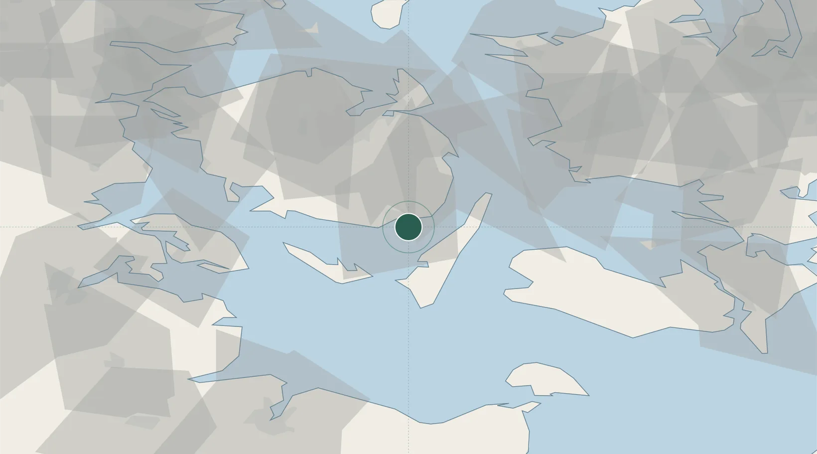
Location
Nearby Logistics Neighbours
Cities
- 1Oure11 km
- 2Lundeborg14 km
- 3Avernak By24 km
- 4Ryslinge25 km
- 5Lindholm Havn29 km
Airports
Trade Zones
DatabookThe Record of Consolidated Knowledge
Denmark beyond logistics?