Transport Functions
Rail
Road
Hub Profile
Region
85
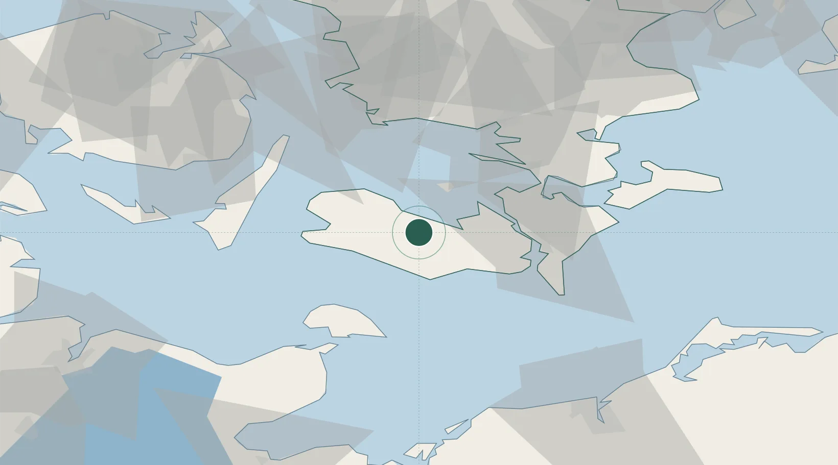
Location
Nearby Logistics Neighbours
Cities
- 1Burso9 km
- 2Vesterborg11 km
- 3Torrig13 km
- 4Reersoe13 km
- 5Rødby13 km
Ports
- 1Bandholm6 km
- 2Sakskobing13 km
- 3Rodby Havn18 km
- 4Nakskov20 km
- 5Nysted24 km
Airports
- 1Lolland Falster Maribo Airport11 km
- 2Sydfyn (Tasinge) Airfield61 km
- 3Ærø Airfield63 km
- 4Ringsted Airfield74 km
- 5Kiel-Holtenau Airport95 km
Trade Zones
DatabookThe Record of Consolidated Knowledge
Denmark beyond logistics?