UN/LOCODE hub · Germany
DEWWU

Wildau

52.3167°, 13.6333°
1
Transport functions

Transport Functions

Multimodal
UN/LOCODE

Hub Profile

Place type
Local administrative seat
GeoNames
Region
Brandenburg
GeoNames
Time zone
Europe/Berlin
GeoNames
Elevation
38 m
GeoNames

Location

Location of DEWWU
Natural Earth 10m (public domain) · Brandenburg · DEWWU · 52.32, 13.63GoogleOSMYandex

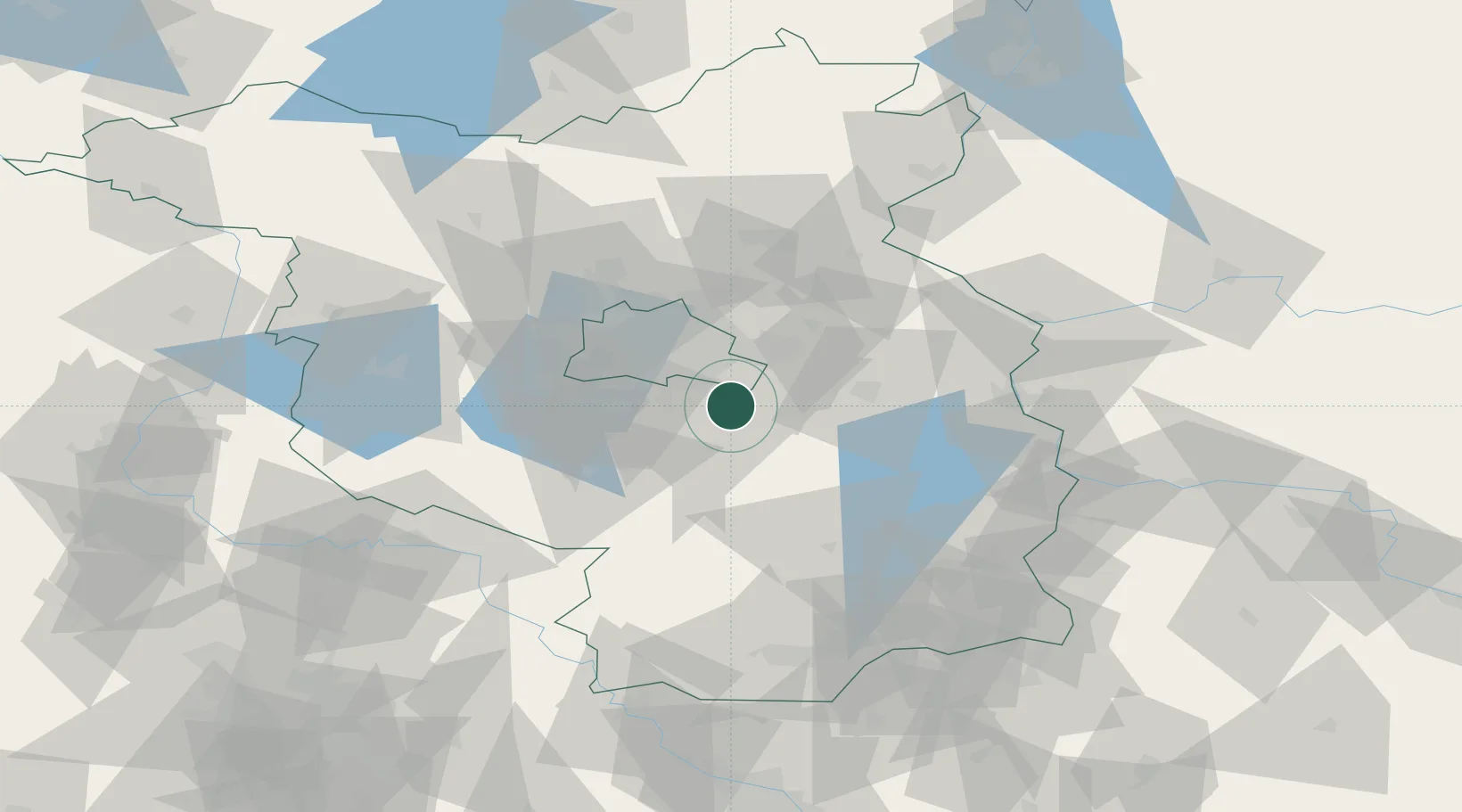
Nearby Logistics Neighbours

Cities
  1. 1Königs Wusterhausen1 km
  2. 2Zeuthen4 km
  3. 3Zernsdorf5 km
  4. 4Zeesen6 km
  5. 5Bindow9 km
Nearest neighbours — logibook spatial index (haversine) over the source coordinates
Ports
  1. 1Szczecin137 km
  2. 2Police152 km
  3. 3Swinoujscie183 km
  4. 4Wolgast193 km
  5. 5Rostock222 km
Nearest neighbours — logibook spatial index (haversine) over the source coordinates
Airports
  1. 1Berlin Brandenburg Airport10 km
  2. 2Holzdorf Air Base69 km
  3. 3Zerbst Airfield107 km
  4. 4Dresden Airport132 km
  5. 5Leipzig/Halle Airport139 km
Nearest neighbours — logibook spatial index (haversine) over the source coordinates
Trade Zones
  1. 1Kostrzyń-Słubice SEZ75 km
  2. 2Szczecin Duty Free Zone138 km
  3. 3Swinoujscie Duty Free Zone181 km
  4. 4Legnica SEZ (Legnicka SSE)196 km
  5. 5Most - Joseph Industrial Zone204 km
Nearest neighbours — logibook spatial index (haversine) over the source coordinates
DatabookThe Record of Consolidated Knowledge
Germany beyond logistics?
Browse databook

All Sources

LocationsUN/LOCODE
UN/LOCODE — free
Portsthe NGA World Port Index
Public domain (US gov)
AirportsOurAirports
Public domain
Trade Zonesthe World Bank SEZ database
CC BY 4.0
Trade ZonesOpen Zone Map
CC BY
← Germany locations