Transport Functions
Rail
Road
Hub Profile
Place type
Populated place
Region
Brandenburg
Time zone
Europe/Berlin
Elevation
37 m
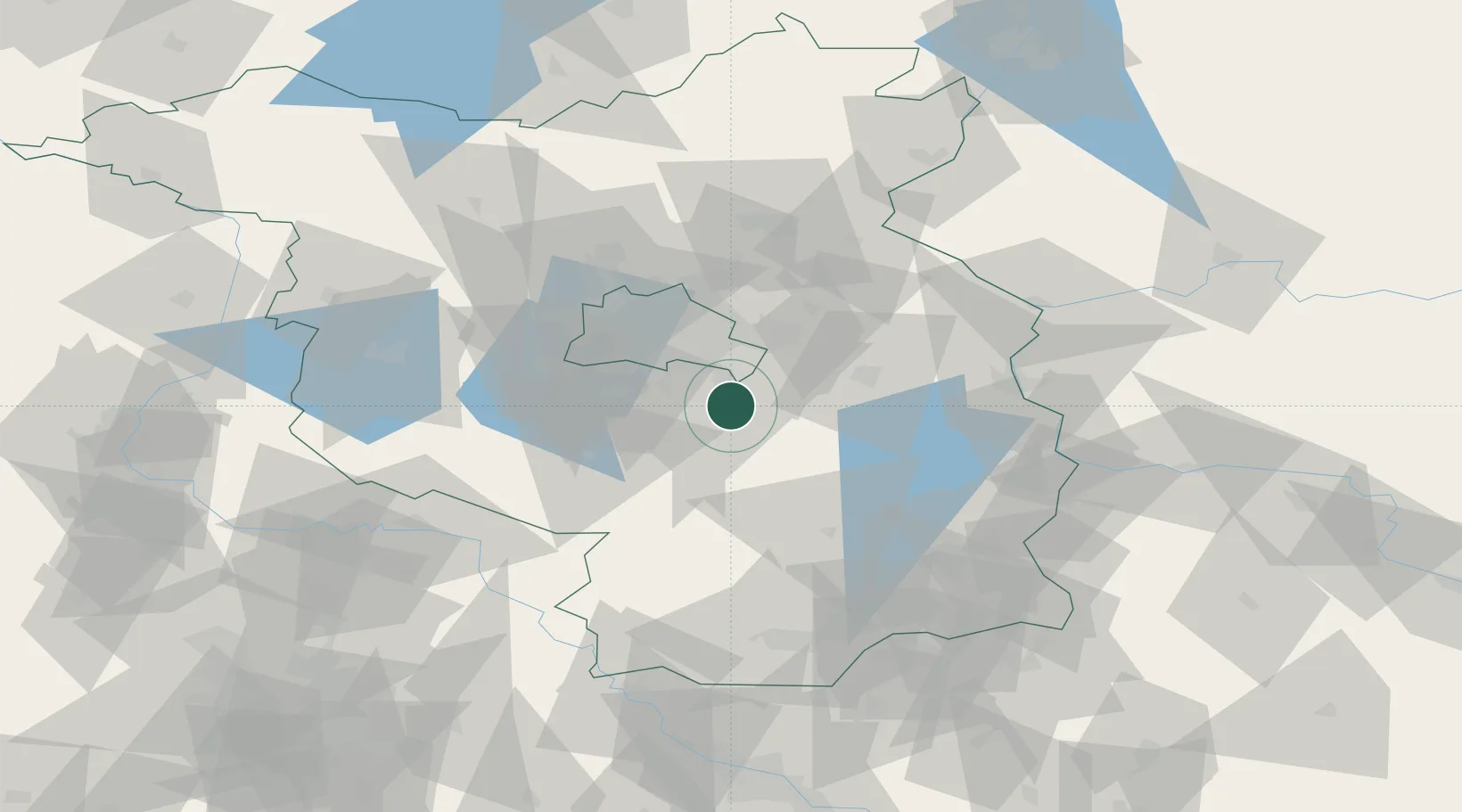
Location
Nearby Logistics Neighbours
Cities
- 1Königs Wusterhausen4 km
- 2Wildau6 km
- 3Zernsdorf6 km
- 4Mittenwalde7 km
- 5Bindow8 km
Ports
- 1Szczecin142 km
- 2Police158 km
- 3Swinoujscie188 km
- 4Wolgast199 km
- 5Rostock227 km
Airports
- 1Berlin Brandenburg Airport14 km
- 2Holzdorf Air Base64 km
- 3Zerbst Airfield106 km
- 4Dresden Airport126 km
- 5Leipzig/Halle Airport135 km
Trade Zones
- 1Kostrzyń-Słubice SEZ77 km
- 2Szczecin Duty Free Zone143 km
- 3Swinoujscie Duty Free Zone186 km
- 4Legnica SEZ (Legnicka SSE)193 km
- 5Most - Joseph Industrial Zone198 km
DatabookThe Record of Consolidated Knowledge
Germany beyond logistics?