Transport Functions
Port
Road
Hub Profile
Place type
Populated place
Region
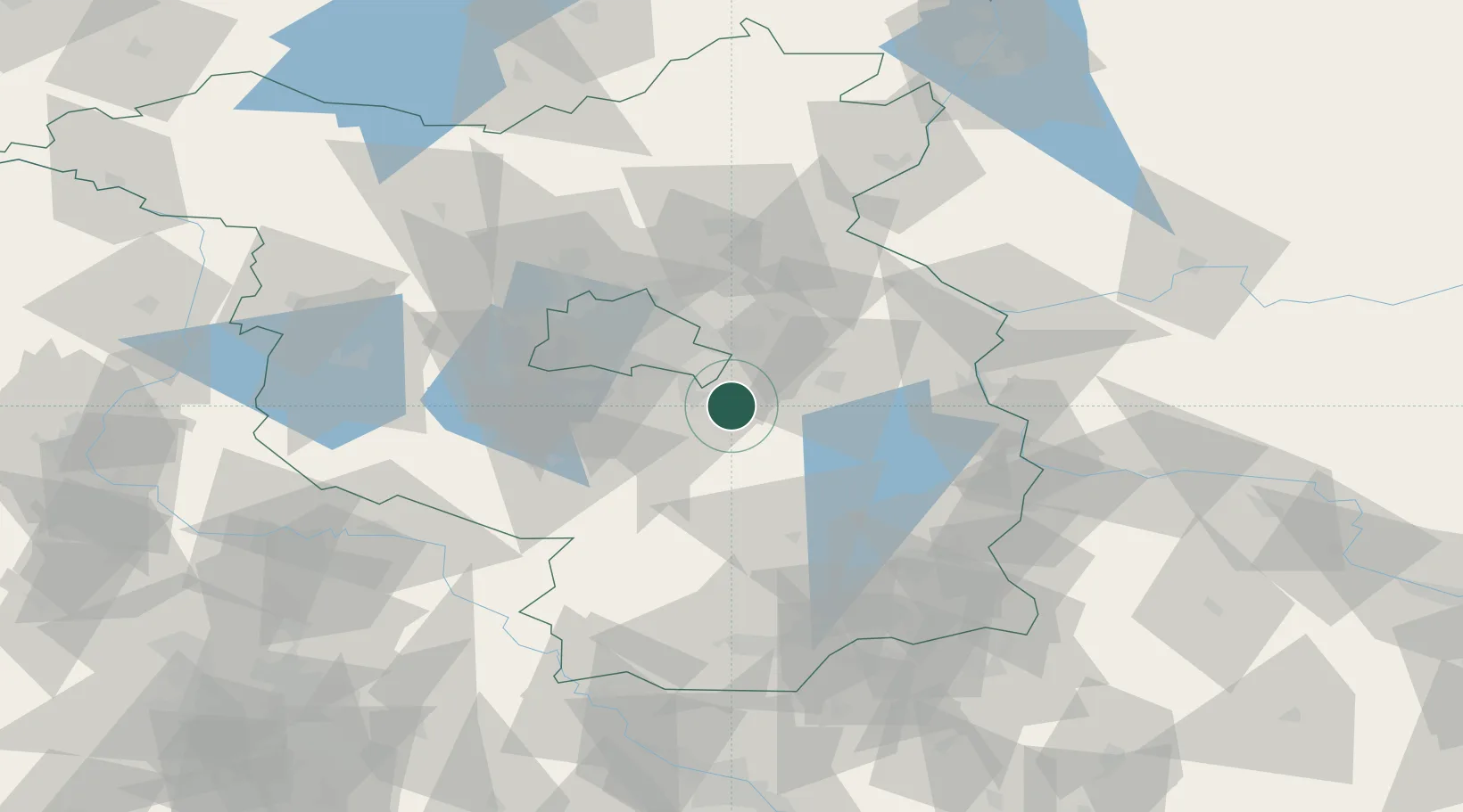
Brandenburg
Time zone
Europe/Berlin
Elevation
35 m
Location
Nearby Logistics Neighbours
Cities
- 1Zernsdorf4 km
- 2Blossin4 km
- 3Wolzig6 km
- 4Königs Wusterhausen8 km
- 5Zeesen8 km
Ports
- 1Szczecin137 km
- 2Police153 km
- 3Swinoujscie185 km
- 4Wolgast197 km
- 5Rostock229 km
Airports
- 1Berlin Brandenburg Airport19 km
- 2Holzdorf Air Base70 km
- 3Zerbst Airfield114 km
- 4Dresden Airport128 km
- 5Rothenburg/Görlitz Airfield131 km
Trade Zones
- 1Kostrzyń-Słubice SEZ70 km
- 2Szczecin Duty Free Zone138 km
- 3Swinoujscie Duty Free Zone183 km
- 4Legnica SEZ (Legnicka SSE)187 km
- 5Most - Joseph Industrial Zone200 km
DatabookThe Record of Consolidated Knowledge
Germany beyond logistics?