Transport Functions
Multimodal
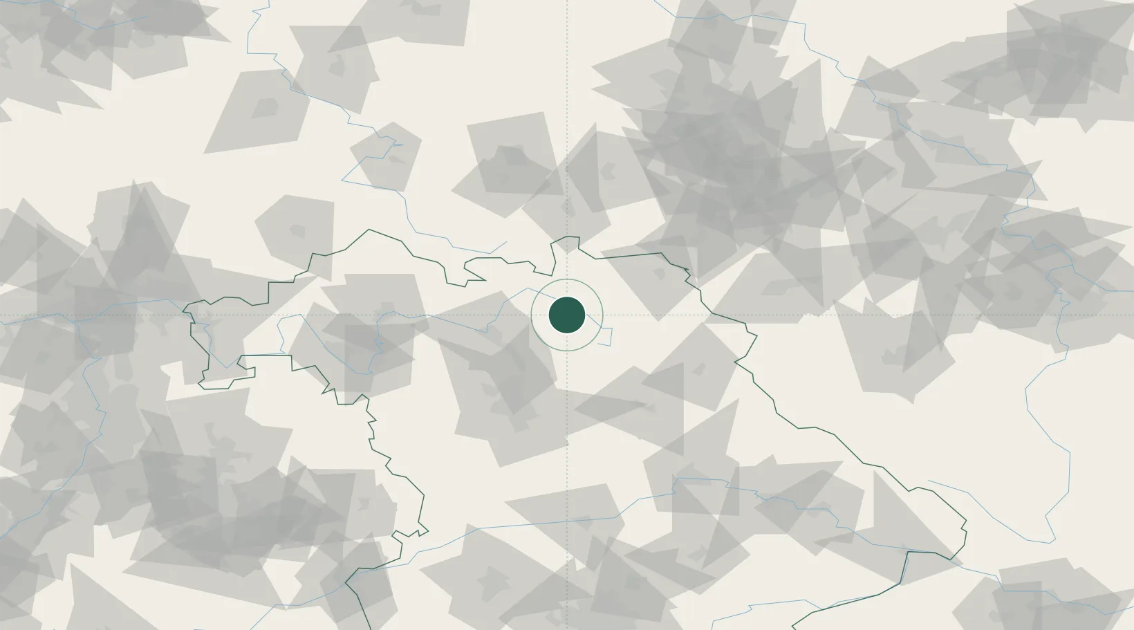
Hub Profile
Place type
Populated place
Region
Bavaria
Population
2,602
Time zone
Europe/Berlin
Elevation
381 m
Location
Nearby Logistics Neighbours
Cities
- 1Mainleus8 km
- 2Weismain10 km
- 3Heinersreuth15 km
- 4Harsdorf16 km
- 5Stadtsteinach18 km
Airports
- 1Bayreuth Airport21 km
- 2Bamberg-Breitenau Airfield34 km
- 3Hof-Plauen Airport46 km
- 4Grafenwöhr Army Air Field56 km
- 5Nuremberg Airport63 km
Trade Zones
DatabookThe Record of Consolidated Knowledge
Germany beyond logistics?