Transport Functions
Rail
Road
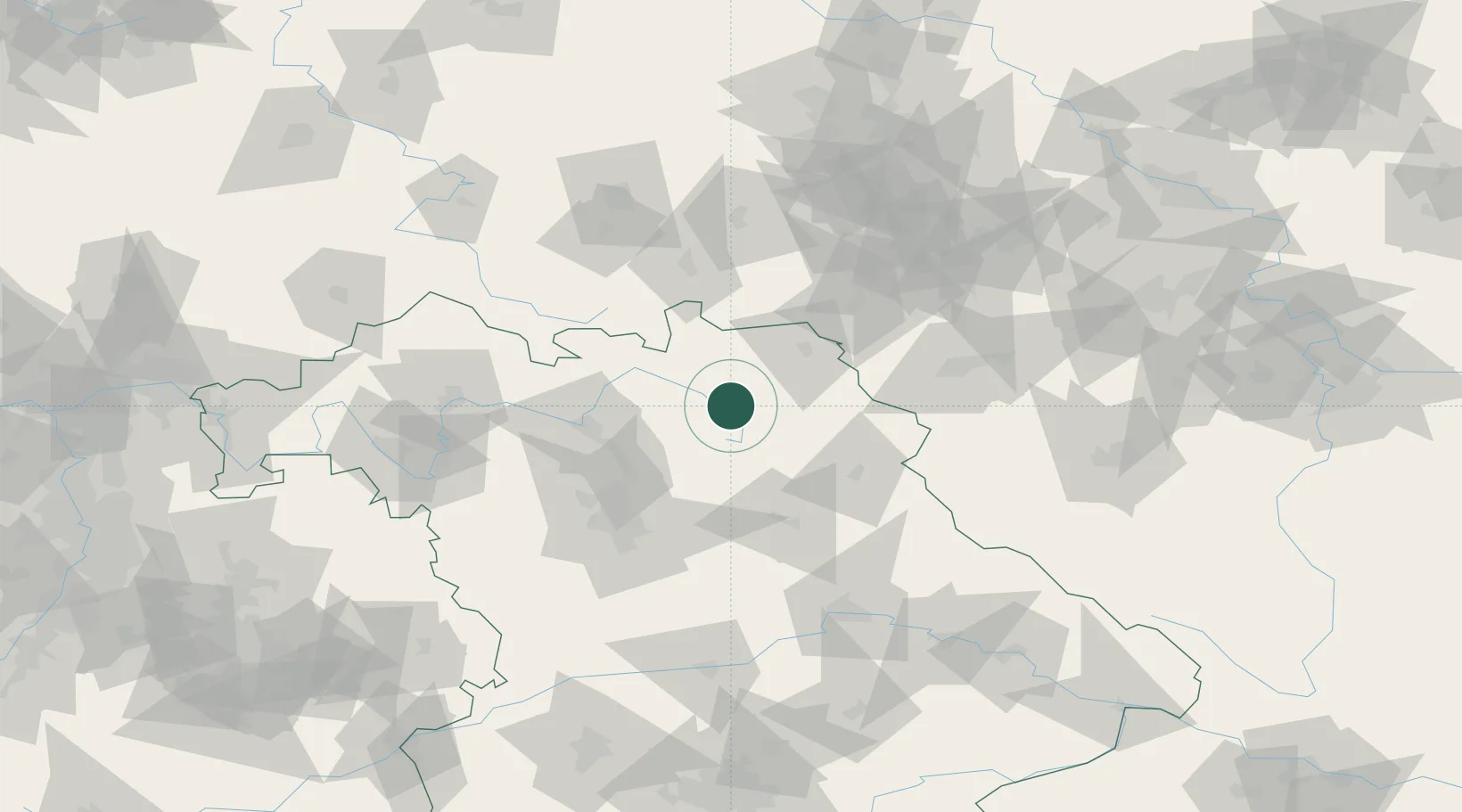
Hub Profile
Place type
Local administrative seat
Region
Bavaria
Population
1,076
Time zone
Europe/Berlin
Elevation
398 m
Location
Nearby Logistics Neighbours
Cities
- 1Heinersreuth6 km
- 2Bad Berneck8 km
- 3Goldkronach8 km
- 4Neuenmarkt10 km
- 5Kasendorf16 km
Airports
- 1Bayreuth Airport6 km
- 2Hof-Plauen Airport37 km
- 3Grafenwöhr Army Air Field44 km
- 4Bamberg-Breitenau Airfield48 km
- 5Nuremberg Airport67 km
Trade Zones
DatabookThe Record of Consolidated Knowledge
Germany beyond logistics?