Transport Functions
Road
Multimodal
Hub Profile
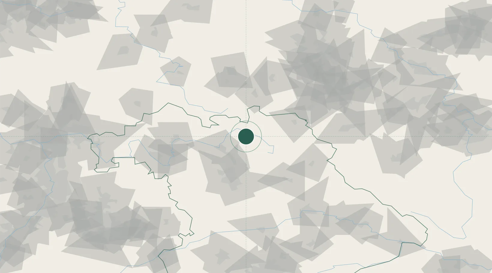
Place type
Local administrative seat
Region
Bavaria
Population
4,840
Time zone
Europe/Berlin
Elevation
318 m
Location
Nearby Logistics Neighbours
Cities
- 1Hochstadt am Main9 km
- 2Kasendorf10 km
- 3Mainleus11 km
- 4Foeritz13 km
- 5Sonnefeld16 km
Airports
- 1Bamberg-Breitenau Airfield29 km
- 2Bayreuth Airport31 km
- 3Hof-Plauen Airport50 km
- 4Nuremberg Airport66 km
- 5Grafenwöhr Army Air Field66 km
Trade Zones
DatabookThe Record of Consolidated Knowledge
Germany beyond logistics?