UN/LOCODE hub · Germany
DEDTS

Stadtsteinach

50.1667°, 11.5000°
3,563
Population
3
Transport functions

Transport Functions

Rail
Road
Multimodal
UN/LOCODE

Hub Profile

Place type
Populated place
GeoNames
Region
Bavaria
GeoNames
Population
3,563
GeoNames
Time zone
Europe/Berlin
GeoNames
Elevation
341 m
GeoNames

Location

Location of DEDTS
Natural Earth 10m (public domain) · Bavaria · DEDTS · 50.17, 11.50GoogleOSMYandex

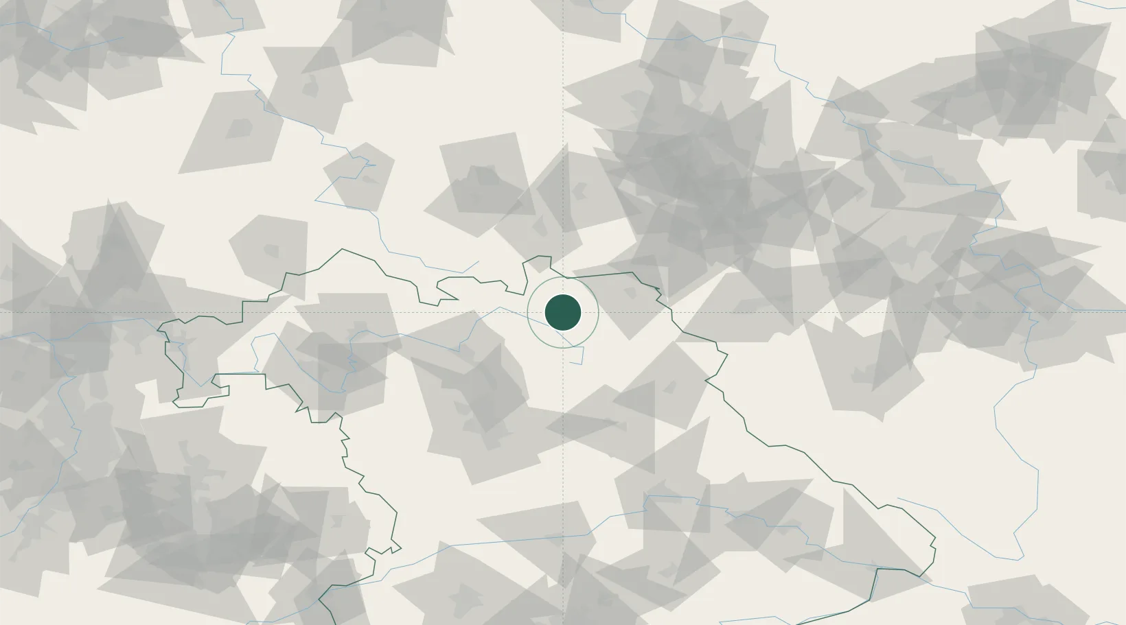
Nearby Logistics Neighbours

Cities
  1. 1Grafengehaig6 km
  2. 2Presseck8 km
  3. 3Marktleugast8 km
  4. 4Neuenmarkt10 km
  5. 5Mainleus11 km
Nearest neighbours — logibook spatial index (haversine) over the source coordinates
Ports
  1. 1Bremen380 km
  2. 2Hamburg391 km
  3. 3Oldenburg399 km
  4. 4Elsfleth400 km
  5. 5Brake409 km
Nearest neighbours — logibook spatial index (haversine) over the source coordinates
Airports
  1. 1Bayreuth Airport23 km
  2. 2Hof-Plauen Airport29 km
  3. 3Bamberg-Breitenau Airfield50 km
  4. 4Grafenwöhr Army Air Field61 km
  5. 5Nuremberg Airport80 km
Nearest neighbours — logibook spatial index (haversine) over the source coordinates
Trade Zones
  1. 1Podbořany Industrial Zone136 km
  2. 2Žatec - Triangle Strategic Industrial Zone146 km
  3. 3Most - Joseph Industrial Zone156 km
  4. 4Freeport of Deggendorf178 km
  5. 5Kolín - Ovčáry Industrial Zone266 km
Nearest neighbours — logibook spatial index (haversine) over the source coordinates
DatabookThe Record of Consolidated Knowledge
Germany beyond logistics?
Browse databook

All Sources

LocationsUN/LOCODE
UN/LOCODE — free
LocationsGeoNames
CC BY 4.0
Portsthe NGA World Port Index
Public domain (US gov)
AirportsOurAirports
Public domain
Trade Zonesthe World Bank SEZ database
CC BY 4.0
Trade ZonesOpen Zone Map
CC BY
← Germany locations