Transport Functions
Multimodal
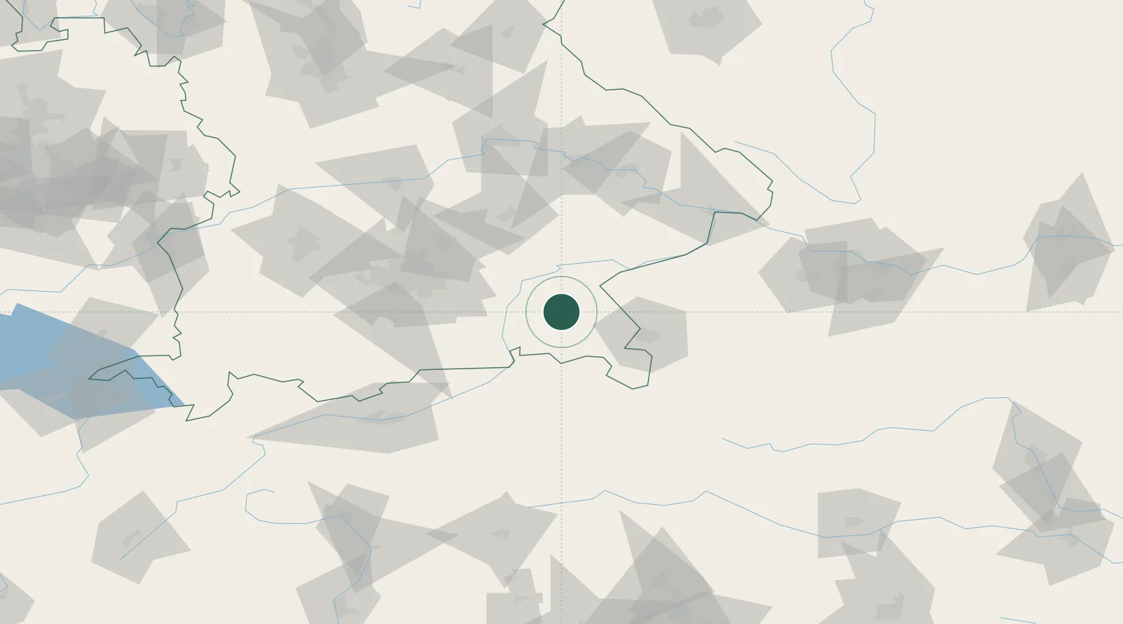
Hub Profile
Place type
Populated place
Region
Bavaria
Time zone
Europe/Berlin
Elevation
517 m
Location
Nearby Logistics Neighbours
Cities
- 1Seeon-Seebruck3 km
- 2Stein an der Traun5 km
- 3Sankt Georgen (Traunreut)5 km
- 4Traunreut8 km
- 5Nussdorf9 km
Ports
- 1Nogaro249 km
- 2Monfalcone254 km
- 3Grado258 km
- 4Trieste273 km
- 5Muggia279 km
Airports
- 1Salzburg Airport42 km
- 2Munich Airport69 km
- 3Landshut Airfield71 km
- 4Oberpfaffenhofen Airport92 km
- 5Altstetten Ultralight Field98 km
Trade Zones
- 1Freeport of Deggendorf104 km
- 2Livigno Free Trade Zone240 km
- 3Podbořany Industrial Zone262 km
- 4Free Port of Trieste273 km
- 5Free Port of Venice280 km
DatabookThe Record of Consolidated Knowledge
Germany beyond logistics?