Transport Functions
Rail
Road
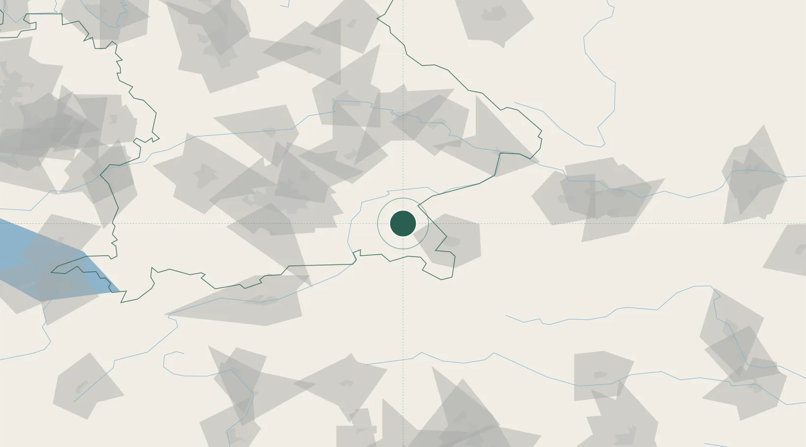
Hub Profile
Place type
Populated place
Region
Bavaria
Population
21,244
Time zone
Europe/Berlin
Elevation
552 m
Logistics facilities
1
Location
Nearby Logistics Neighbours
Cities
- 1Sankt Georgen (Traunreut)3 km
- 2Stein an der Traun5 km
- 3Nussdorf7 km
- 4Truchtlaching8 km
- 5Seeon-Seebruck11 km
Ports
- 1Nogaro248 km
- 2Monfalcone252 km
- 3Grado257 km
- 4Trieste271 km
- 5Muggia277 km
Airports
- 1Salzburg Airport35 km
- 2Landshut Airfield75 km
- 3Munich Airport75 km
- 4Oberpfaffenhofen Airport100 km
- 5Altstetten Ultralight Field106 km
Trade Zones
- 1Freeport of Deggendorf101 km
- 2Livigno Free Trade Zone247 km
- 3Podbořany Industrial Zone259 km
- 4Free Port of Trieste271 km
- 5Žatec - Triangle Strategic Industrial Zone279 km
DatabookThe Record of Consolidated Knowledge
Germany beyond logistics?