Transport Functions
Multimodal
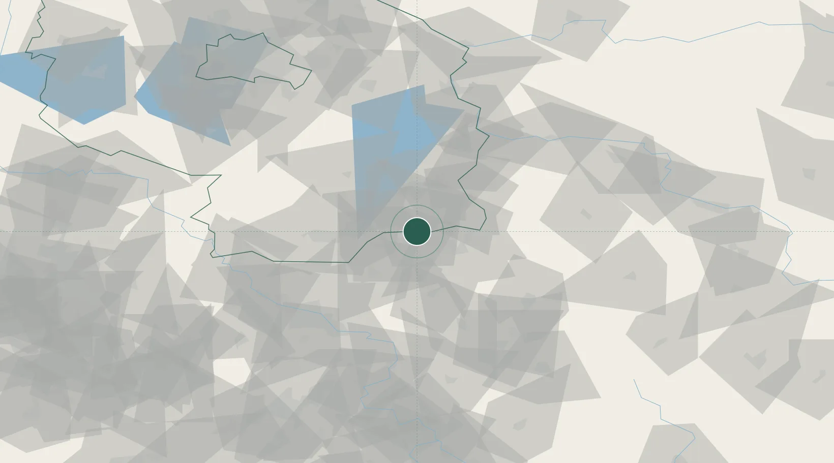
Hub Profile
Place type
Populated place
Region
Brandenburg
Time zone
Europe/Berlin
Elevation
120 m
Location
Nearby Logistics Neighbours
Cities
- 1Spremberg2 km
- 2Welzow12 km
- 3Mühlrose12 km
- 4Drebkau16 km
- 5Wittichenau18 km
Ports
- 1Szczecin210 km
- 2Police227 km
- 3Swinoujscie265 km
- 4Wolgast282 km
- 5Kolobrzeg309 km
Airports
- 1Rothenburg/Görlitz Airfield46 km
- 2Dresden Airport60 km
- 3Holzdorf Air Base86 km
- 4Berlin Brandenburg Airport109 km
- 5Zielona Góra-Babimost Airport120 km
Trade Zones
- 1Legnica SEZ (Legnicka SSE)113 km
- 2Kostrzyń-Słubice SEZ120 km
- 3Most - Joseph Industrial Zone127 km
- 4Žatec - Triangle Strategic Industrial Zone139 km
- 5Kamienna Góra143 km
DatabookThe Record of Consolidated Knowledge
Germany beyond logistics?