UN/LOCODE hub · Germany
DESMB

Spremberg

51.5500°, 14.3667°
2
Transport functions

Transport Functions

Rail
Road
UN/LOCODE

Hub Profile

Place type
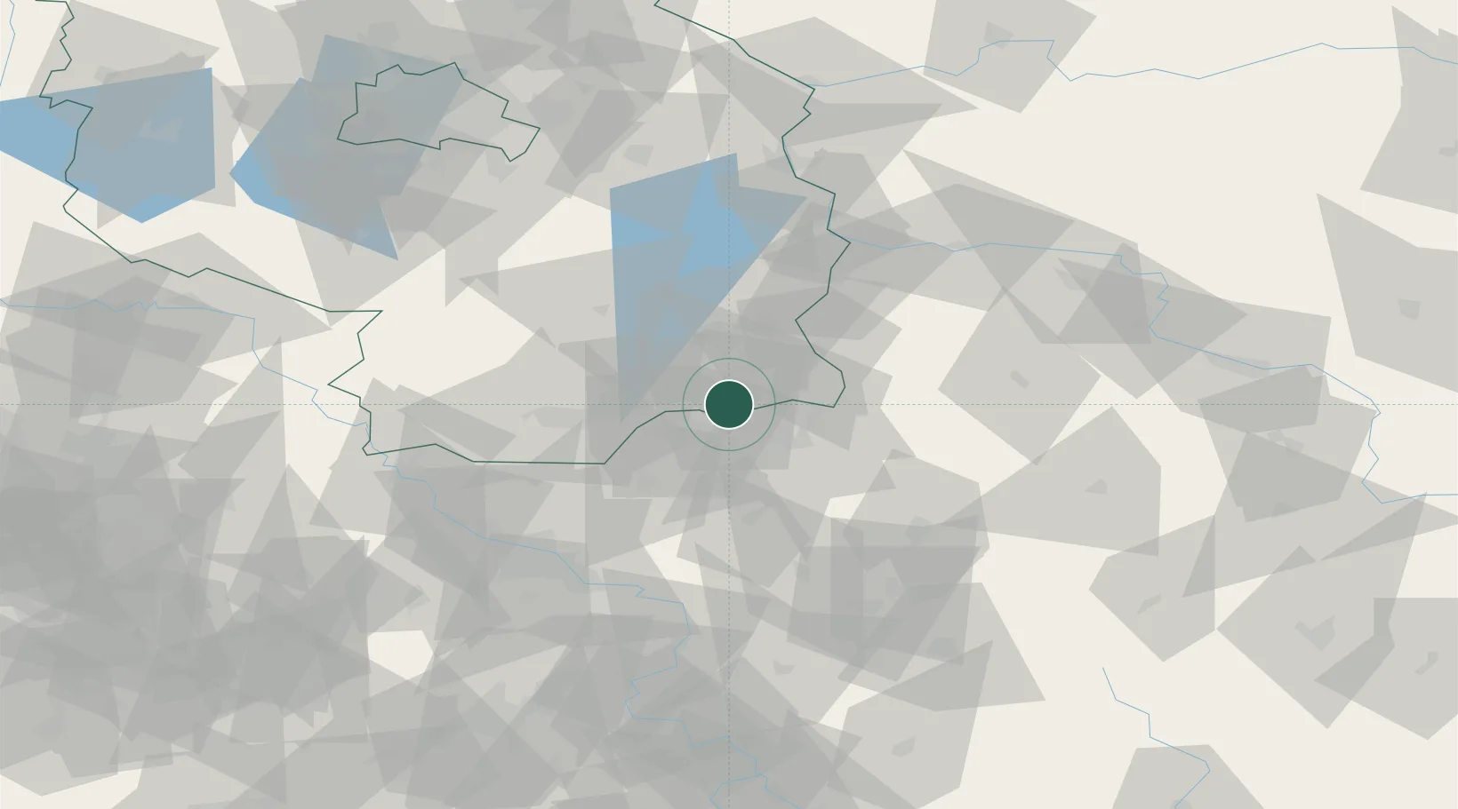
Local administrative seat
GeoNames
Region
Brandenburg
GeoNames
Time zone
Europe/Berlin
GeoNames
Elevation
100 m
GeoNames

Location

Location of DESMB
Natural Earth 10m (public domain) · Brandenburg · DESMB · 51.55, 14.37GoogleOSMYandex

Nearby Logistics Neighbours

Cities
  1. 1Schwarze Pumpe2 km
  2. 2Mühlrose12 km
  3. 3Welzow13 km
  4. 4Drebkau15 km
  5. 5Döbern18 km
Nearest neighbours — logibook spatial index (haversine) over the source coordinates
Ports
  1. 1Szczecin208 km
  2. 2Police225 km
  3. 3Swinoujscie263 km
  4. 4Wolgast281 km
  5. 5Kolobrzeg307 km
Nearest neighbours — logibook spatial index (haversine) over the source coordinates
Airports
  1. 1Rothenburg/Görlitz Airfield45 km
  2. 2Dresden Airport62 km
  3. 3Holzdorf Air Base86 km
  4. 4Berlin Brandenburg Airport108 km
  5. 5Zielona Góra-Babimost Airport118 km
Nearest neighbours — logibook spatial index (haversine) over the source coordinates
Trade Zones
  1. 1Legnica SEZ (Legnicka SSE)113 km
  2. 2Kostrzyń-Słubice SEZ118 km
  3. 3Most - Joseph Industrial Zone129 km
  4. 4Žatec - Triangle Strategic Industrial Zone141 km
  5. 5Kamienna Góra144 km
Nearest neighbours — logibook spatial index (haversine) over the source coordinates
DatabookThe Record of Consolidated Knowledge
Germany beyond logistics?
Browse databook

All Sources

LocationsUN/LOCODE
UN/LOCODE — free
Portsthe NGA World Port Index
Public domain (US gov)
AirportsOurAirports
Public domain
Trade Zonesthe World Bank SEZ database
CC BY 4.0
Trade ZonesOpen Zone Map
CC BY
← Germany locations