Transport Functions
Rail
Road
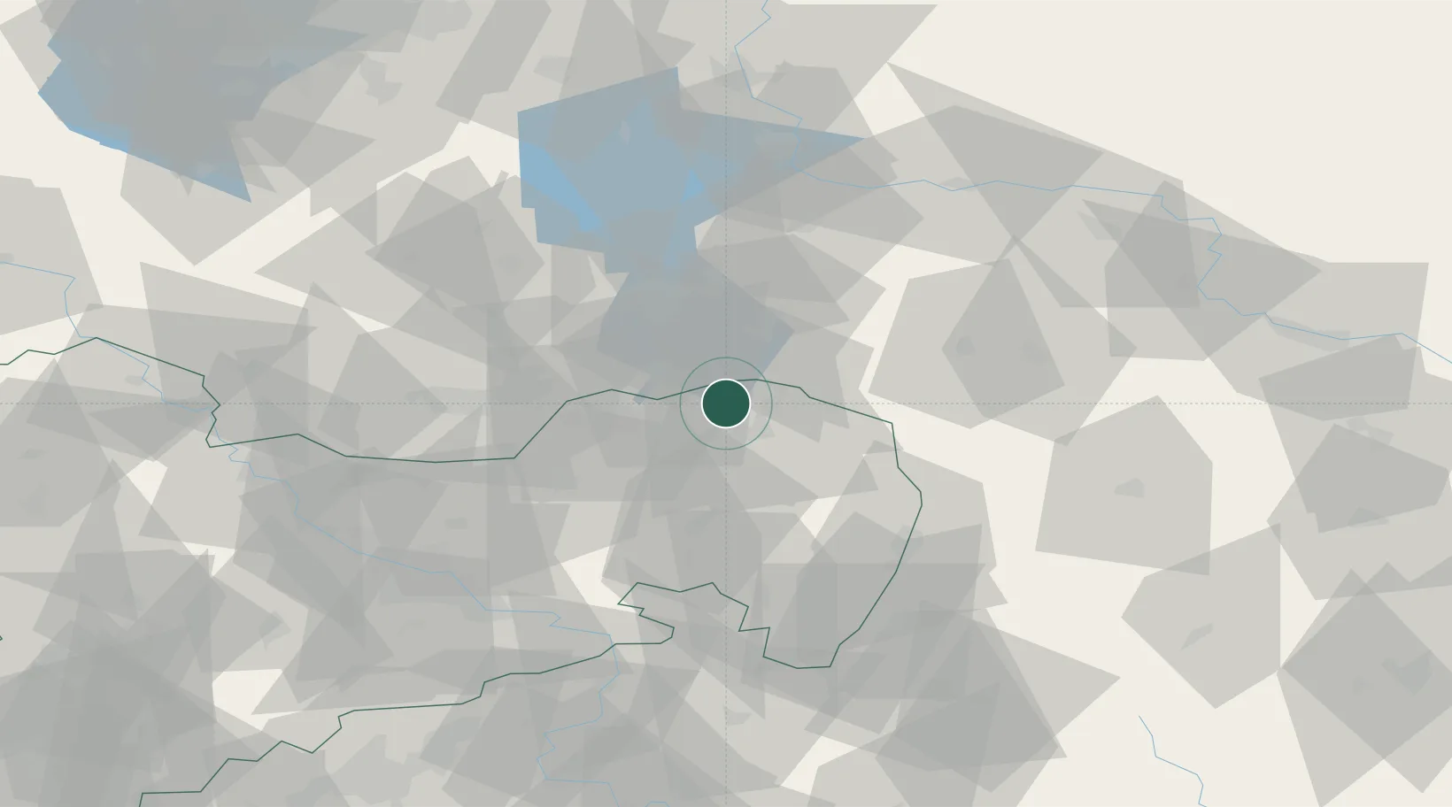
Hub Profile
Region
SN
Location
Nearby Logistics Neighbours
Cities
- 1Nochten9 km
- 2Spremberg12 km
- 3Schwarze Pumpe12 km
- 4Döbern14 km
- 5Kreba-Neudorf22 km
Ports
- 1Szczecin213 km
- 2Police230 km
- 3Swinoujscie269 km
- 4Wolgast288 km
- 5Kolobrzeg310 km
Airports
- 1Rothenburg/Görlitz Airfield34 km
- 2Dresden Airport66 km
- 3Holzdorf Air Base98 km
- 4Zielona Góra-Babimost Airport113 km
- 5Berlin Brandenburg Airport118 km
Trade Zones
- 1Legnica SEZ (Legnicka SSE)101 km
- 2Kostrzyń-Słubice SEZ122 km
- 3Most - Joseph Industrial Zone128 km
- 4Kamienna Góra132 km
- 5Žatec - Triangle Strategic Industrial Zone141 km
DatabookThe Record of Consolidated Knowledge
Germany beyond logistics?