Transport Functions
Multimodal
Hub Profile
Place type
Populated place
Region
Brandenburg
Population
4,240
Time zone
Europe/Berlin
Elevation
125 m
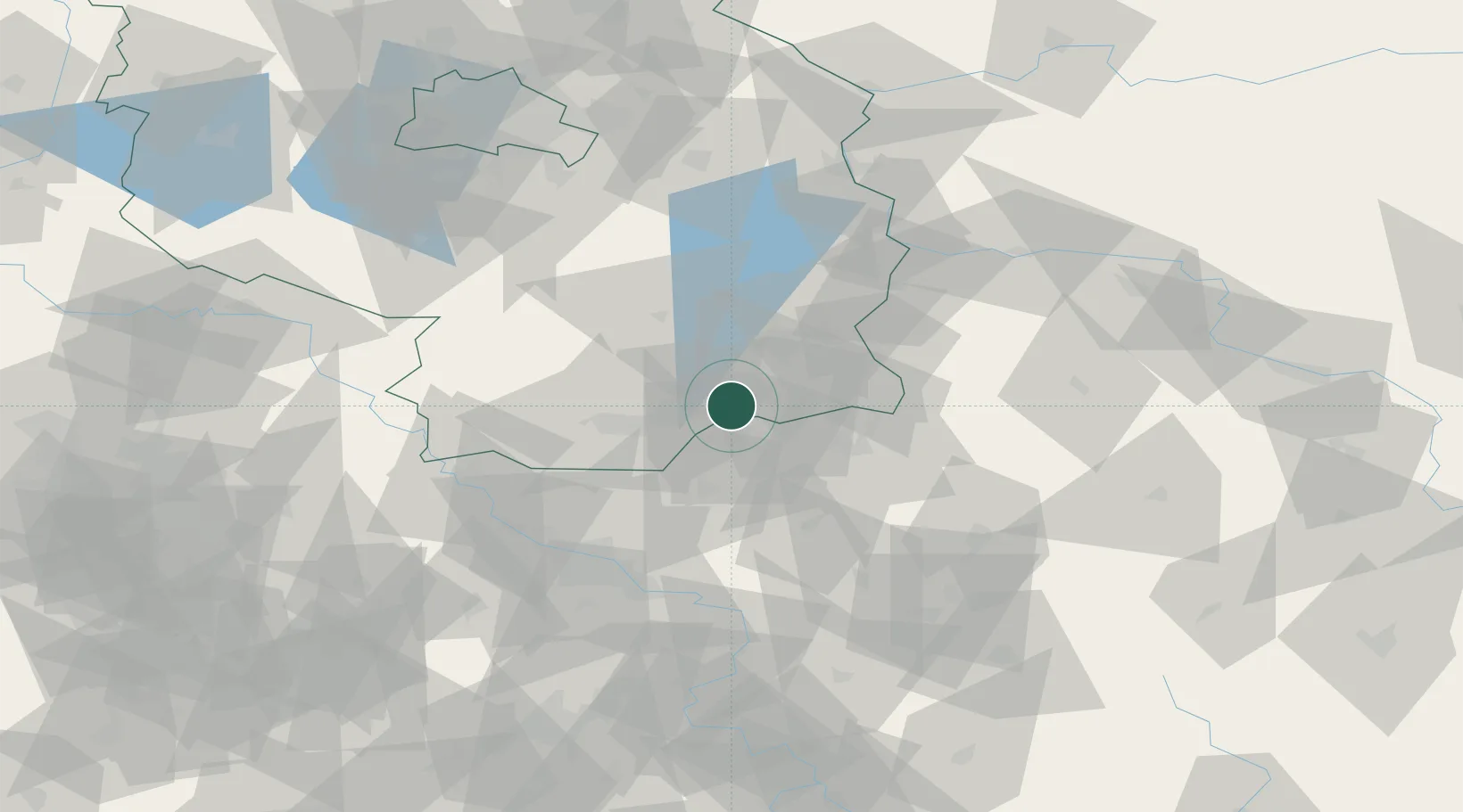
Location
Nearby Logistics Neighbours
Cities
- 1Drebkau10 km
- 2Grosskoschen12 km
- 3Schwarze Pumpe12 km
- 4Senftenberg13 km
- 5Grossräschen13 km
Ports
- 1Szczecin207 km
- 2Police224 km
- 3Swinoujscie261 km
- 4Wolgast277 km
- 5Kolobrzeg309 km
Airports
- 1Dresden Airport56 km
- 2Rothenburg/Görlitz Airfield58 km
- 3Holzdorf Air Base74 km
- 4Berlin Brandenburg Airport100 km
- 5Zielona Góra-Babimost Airport128 km
Trade Zones
- 1Kostrzyń-Słubice SEZ119 km
- 2Legnica SEZ (Legnicka SSE)125 km
- 3Most - Joseph Industrial Zone126 km
- 4Žatec - Triangle Strategic Industrial Zone138 km
- 5Kamienna Góra155 km
DatabookThe Record of Consolidated Knowledge
Germany beyond logistics?