Transport Functions
Multimodal
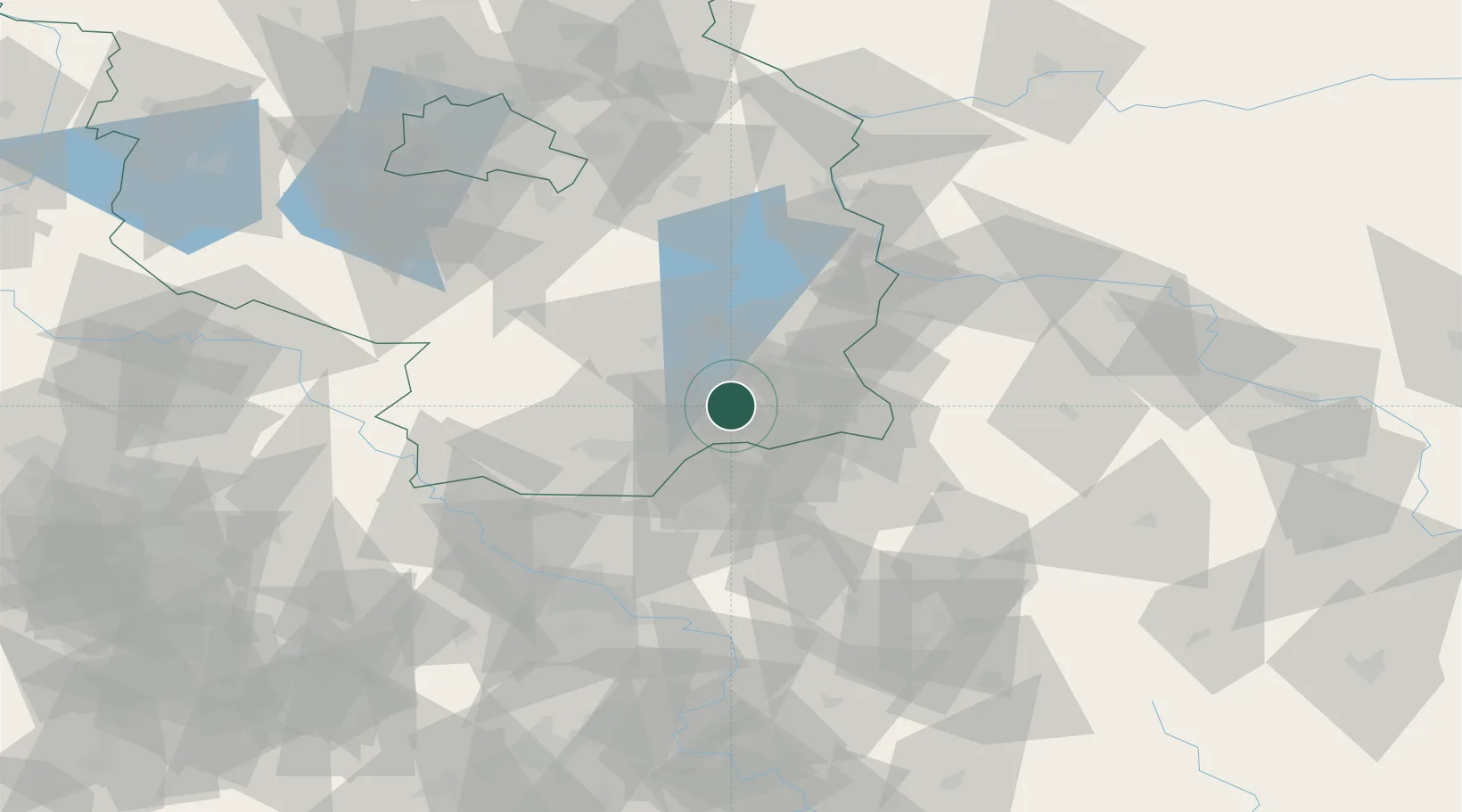
Hub Profile
Place type
Populated place
Region
Brandenburg
Population
6,336
Time zone
Europe/Berlin
Elevation
90 m
Location
Nearby Logistics Neighbours
Cities
- 1Welzow10 km
- 2Spremberg15 km
- 3Cottbus15 km
- 4Schwarze Pumpe16 km
- 5Grossräschen17 km
Ports
- 1Szczecin198 km
- 2Police214 km
- 3Swinoujscie252 km
- 4Wolgast268 km
- 5Kolobrzeg299 km
Airports
- 1Rothenburg/Görlitz Airfield60 km
- 2Dresden Airport65 km
- 3Holzdorf Air Base74 km
- 4Berlin Brandenburg Airport93 km
- 5Zielona Góra-Babimost Airport121 km
Trade Zones
- 1Kostrzyń-Słubice SEZ109 km
- 2Legnica SEZ (Legnicka SSE)126 km
- 3Most - Joseph Industrial Zone136 km
- 4Žatec - Triangle Strategic Industrial Zone148 km
- 5Kamienna Góra158 km
DatabookThe Record of Consolidated Knowledge
Germany beyond logistics?