Transport Functions
Multimodal
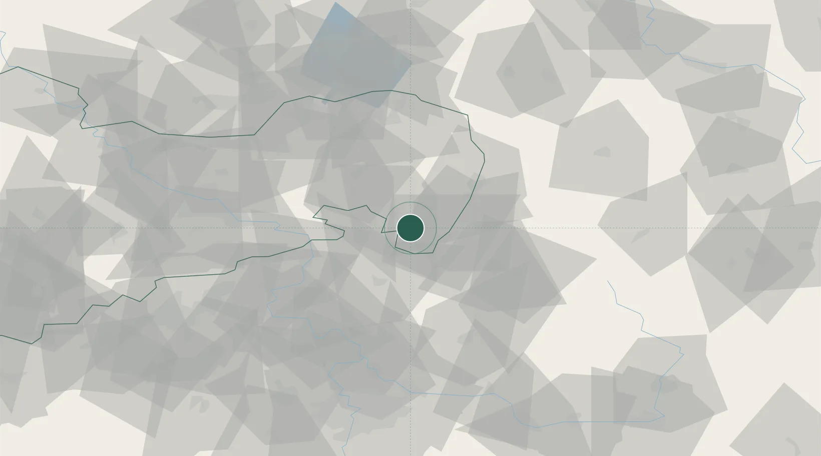
Hub Profile
Place type
Populated place
Region
Saxony
Time zone
Europe/Berlin
Elevation
354 m
Location
Nearby Logistics Neighbours
Cities
- 1Hainewalde2 km
- 2Grosschönau4 km
- 3Eibau6 km
- 4Seifhennersdorf6 km
- 5Mittelherwigsdorf6 km
Ports
- 1Szczecin276 km
- 2Police293 km
- 3Swinoujscie333 km
- 4Wolgast352 km
- 5Kolobrzeg370 km
Airports
- 1Rothenburg/Görlitz Airfield51 km
- 2Dresden Airport68 km
- 3Vodochody Airport82 km
- 4Kostomlaty Airstrip82 km
- 5Prague–Kbely Air Base91 km
Trade Zones
DatabookThe Record of Consolidated Knowledge
Germany beyond logistics?