Transport Functions
Rail
Road
Hub Profile
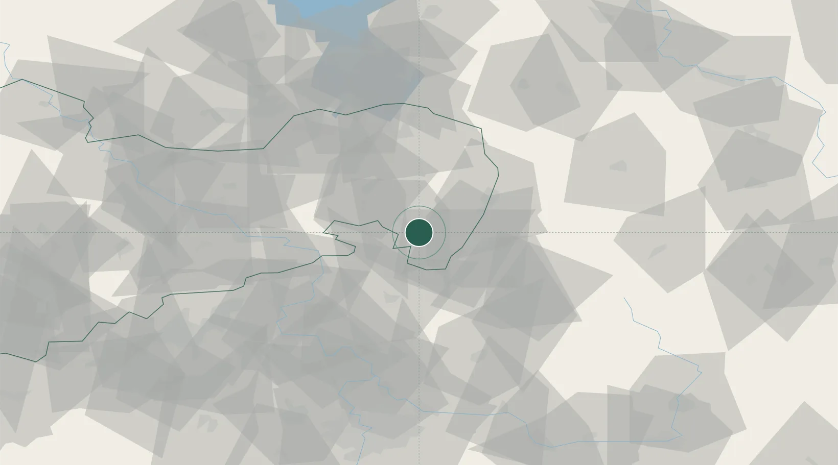
Place type
Populated place
Region
Saxony
Population
5,103
Time zone
Europe/Berlin
Elevation
358 m
Location
Nearby Logistics Neighbours
Cities
- 1Spitzkunnersdorf6 km
- 2Seifhennersdorf7 km
- 3Hainewalde8 km
- 4Rumburk8 km
- 5Grosschönau9 km
Ports
- 1Szczecin271 km
- 2Police287 km
- 3Swinoujscie327 km
- 4Wolgast346 km
- 5Kolobrzeg364 km
Airports
- 1Rothenburg/Görlitz Airfield47 km
- 2Dresden Airport65 km
- 3Vodochody Airport87 km
- 4Kostomlaty Airstrip88 km
- 5Prague–Kbely Air Base96 km
Trade Zones
DatabookThe Record of Consolidated Knowledge
Germany beyond logistics?