Transport Functions
Port
Rail
Road
Hub Profile
Place type
Local administrative seat
Region
Bavaria
Time zone
Europe/Berlin
Elevation
555 m
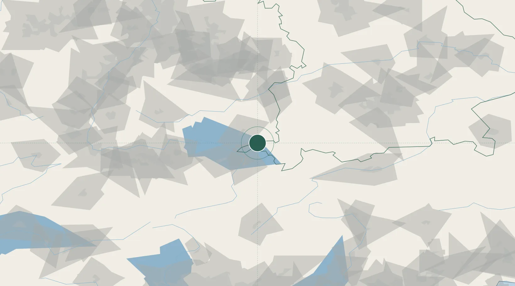
Location
Nearby Logistics Neighbours
Cities
- 1Wangen im Allgäu4 km
- 2Hergensweiler8 km
- 3Lindenberg im Allgäu8 km
- 4Argenbühl10 km
- 5Bernried11 km
Ports
- 1Porto Di Lido-Venezia318 km
- 2Porto Di Chioggia329 km
- 3Nogaro330 km
- 4Grado342 km
- 5Monfalcone351 km
Airports
Trade Zones
- 1Livigno Free Trade Zone126 km
- 2ZFU Neuhof183 km
- 3ZFU Mulhouse187 km
- 4ZFU Hautepierre191 km
- 5Magazzini Generali Con Chiasso212 km
DatabookThe Record of Consolidated Knowledge
Germany beyond logistics?