Transport Functions
Road
Multimodal
Hub Profile
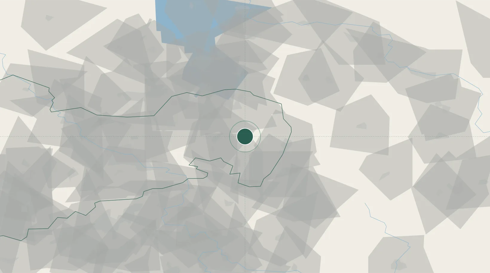
Place type
Populated place
Region
Saxony
Population
3,067
Time zone
Europe/Berlin
Elevation
197 m
Location
Nearby Logistics Neighbours
Cities
- 1Hochkirch8 km
- 2Guttau9 km
- 3Malschwitz11 km
- 4Reichenbach/Oberlausitz12 km
- 5Niederkaina13 km
Ports
- 1Szczecin247 km
- 2Police263 km
- 3Swinoujscie303 km
- 4Wolgast323 km
- 5Kolobrzeg341 km
Airports
- 1Rothenburg/Görlitz Airfield27 km
- 2Dresden Airport63 km
- 3Vodochody Airport111 km
- 4Kostomlaty Airstrip112 km
- 5Prague–Kbely Air Base120 km
Trade Zones
DatabookThe Record of Consolidated Knowledge
Germany beyond logistics?