Transport Functions
Rail
Road
Multimodal
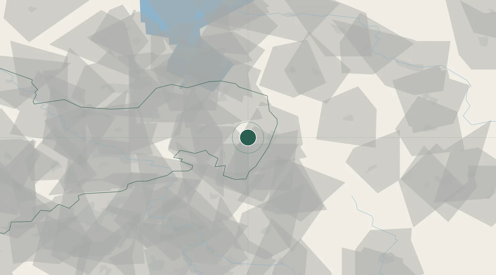
Hub Profile
Region
SN
Location
Nearby Logistics Neighbours
Cities
- 1Schöpstal8 km
- 2Weissenberg12 km
- 3Kodersdorf13 km
- 4Görlitz14 km
- 5Hochkirch15 km
Ports
- 1Szczecin255 km
- 2Police271 km
- 3Swinoujscie312 km
- 4Wolgast332 km
- 5Kolobrzeg347 km
Airports
- 1Rothenburg/Görlitz Airfield28 km
- 2Dresden Airport72 km
- 3Kostomlaty Airstrip103 km
- 4Vodochody Airport106 km
- 5Prague–Kbely Air Base114 km
Trade Zones
DatabookThe Record of Consolidated Knowledge
Germany beyond logistics?