Transport Functions
Rail
Road
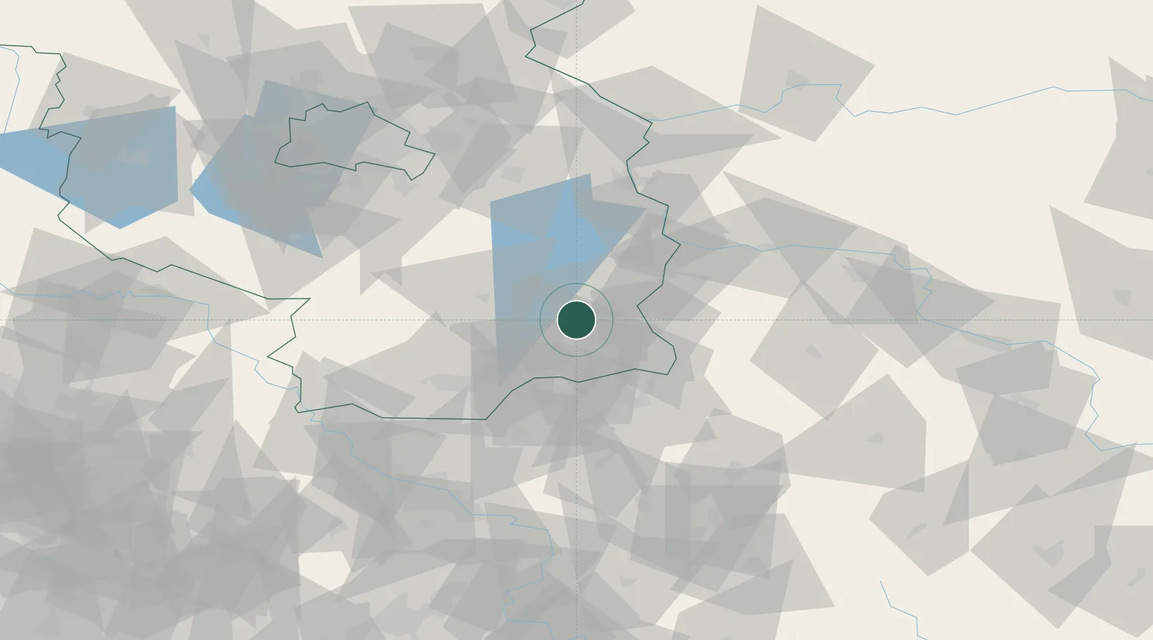
Hub Profile
Place type
District seat
Region
Brandenburg
Population
84,754
Time zone
Europe/Berlin
Elevation
80 m
Location
Nearby Logistics Neighbours
Cities
- 1Jänschwalde15 km
- 2Drebkau15 km
- 3Vetschau17 km
- 4Forst21 km
- 5Spremberg24 km
Ports
- 1Szczecin184 km
- 2Police201 km
- 3Swinoujscie239 km
- 4Wolgast257 km
- 5Kolobrzeg284 km
Airports
- 1Rothenburg/Görlitz Airfield62 km
- 2Holzdorf Air Base80 km
- 3Dresden Airport81 km
- 4Berlin Brandenburg Airport87 km
- 5Zielona Góra-Babimost Airport109 km
Trade Zones
- 1Kostrzyń-Słubice SEZ95 km
- 2Legnica SEZ (Legnicka SSE)123 km
- 3Most - Joseph Industrial Zone151 km
- 4Kamienna Góra160 km
- 5Žatec - Triangle Strategic Industrial Zone163 km
DatabookThe Record of Consolidated Knowledge
Germany beyond logistics?