Transport Functions
Multimodal
Hub Profile
Place type
Populated place
Region
Mecklenburg-Vorpommern
Population
1,064
Time zone
Europe/Berlin
Elevation
66 m
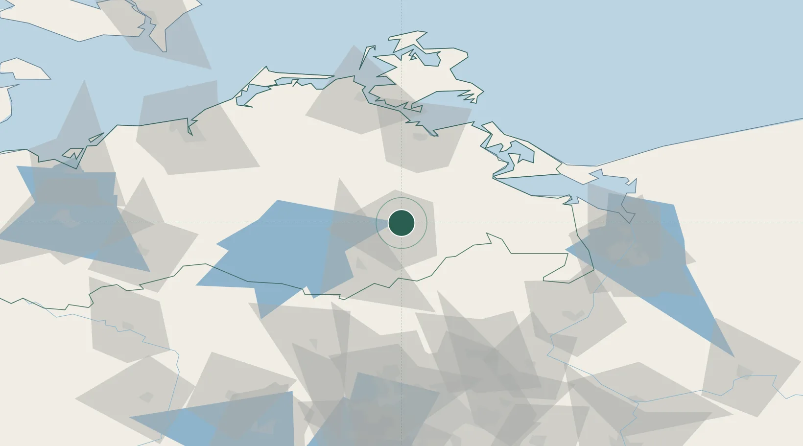
Location
Nearby Logistics Neighbours
Cities
- 1Altentreptow10 km
- 2Rowa13 km
- 3Friedland18 km
- 4Helpt23 km
- 5Reuterstadt Stavenhagen29 km
Ports
- 1Wolgast59 km
- 2Swinoujscie73 km
- 3Stralsund81 km
- 4Police84 km
- 5Szczecin85 km
Airports
Trade Zones
- 1Swinoujscie Duty Free Zone72 km
- 2Szczecin Duty Free Zone87 km
- 3Kostrzyń-Słubice SEZ143 km
- 4Freeport of Kiel220 km
- 5MTS Malmö Transport and Spedition223 km
DatabookThe Record of Consolidated Knowledge
Germany beyond logistics?