Transport Functions
Rail
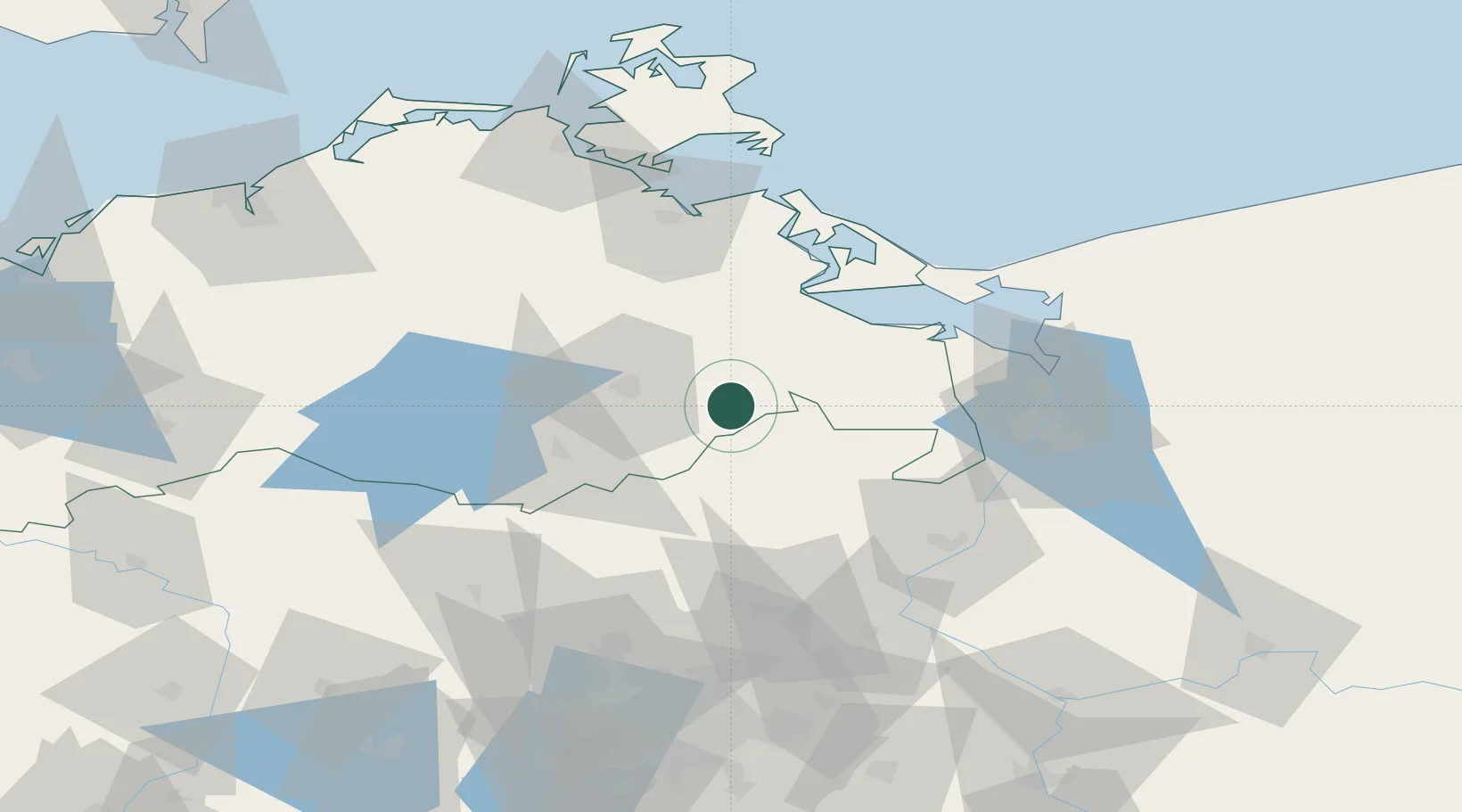
Hub Profile
Place type
Populated place
Region
Mecklenburg-Vorpommern
Population
435
Time zone
Europe/Berlin
Elevation
115 m
Location
Nearby Logistics Neighbours
Cities
- 1Wittstock15 km
- 2Friedland19 km
- 3Rowa22 km
- 4Trollenhagen23 km
- 5Ferdinandshof26 km
Ports
- 1Wolgast62 km
- 2Szczecin64 km
- 3Swinoujscie64 km
- 4Police64 km
- 5Stralsund97 km
Airports
Trade Zones
- 1Swinoujscie Duty Free Zone63 km
- 2Szczecin Duty Free Zone65 km
- 3Kostrzyń-Słubice SEZ122 km
- 4MTS Malmö Transport and Spedition236 km
- 5Freeport of Kiel243 km
DatabookThe Record of Consolidated Knowledge
Germany beyond logistics?