Transport Functions
Multimodal
Hub Profile
Place type
Local administrative seat
Region
Mecklenburg-Vorpommern
Population
6,966
Time zone
Europe/Berlin
Elevation
13 m
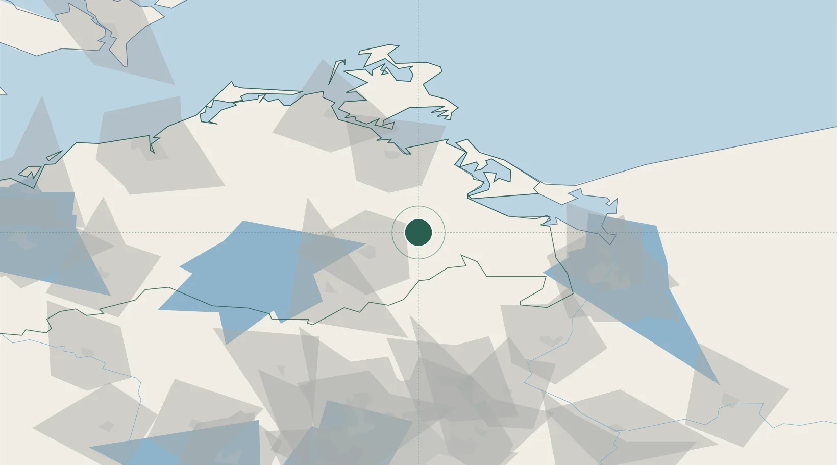
Location
Nearby Logistics Neighbours
Cities
- 1Trollenhagen18 km
- 2Helpt19 km
- 3Altentreptow20 km
- 4Ferdinandshof22 km
- 5Stolpe22 km
Ports
- 1Wolgast45 km
- 2Swinoujscie55 km
- 3Police68 km
- 4Szczecin72 km
- 5Stralsund78 km
Airports
Trade Zones
- 1Swinoujscie Duty Free Zone54 km
- 2Szczecin Duty Free Zone73 km
- 3Kostrzyń-Słubice SEZ140 km
- 4MTS Malmö Transport and Spedition218 km
- 5Freeport of Kiel233 km
DatabookThe Record of Consolidated Knowledge
Germany beyond logistics?