Transport Functions
Rail
Road
Hub Profile
Place type
Populated place
Region
Mecklenburg-Vorpommern
Time zone
Europe/Berlin
Elevation
89 m
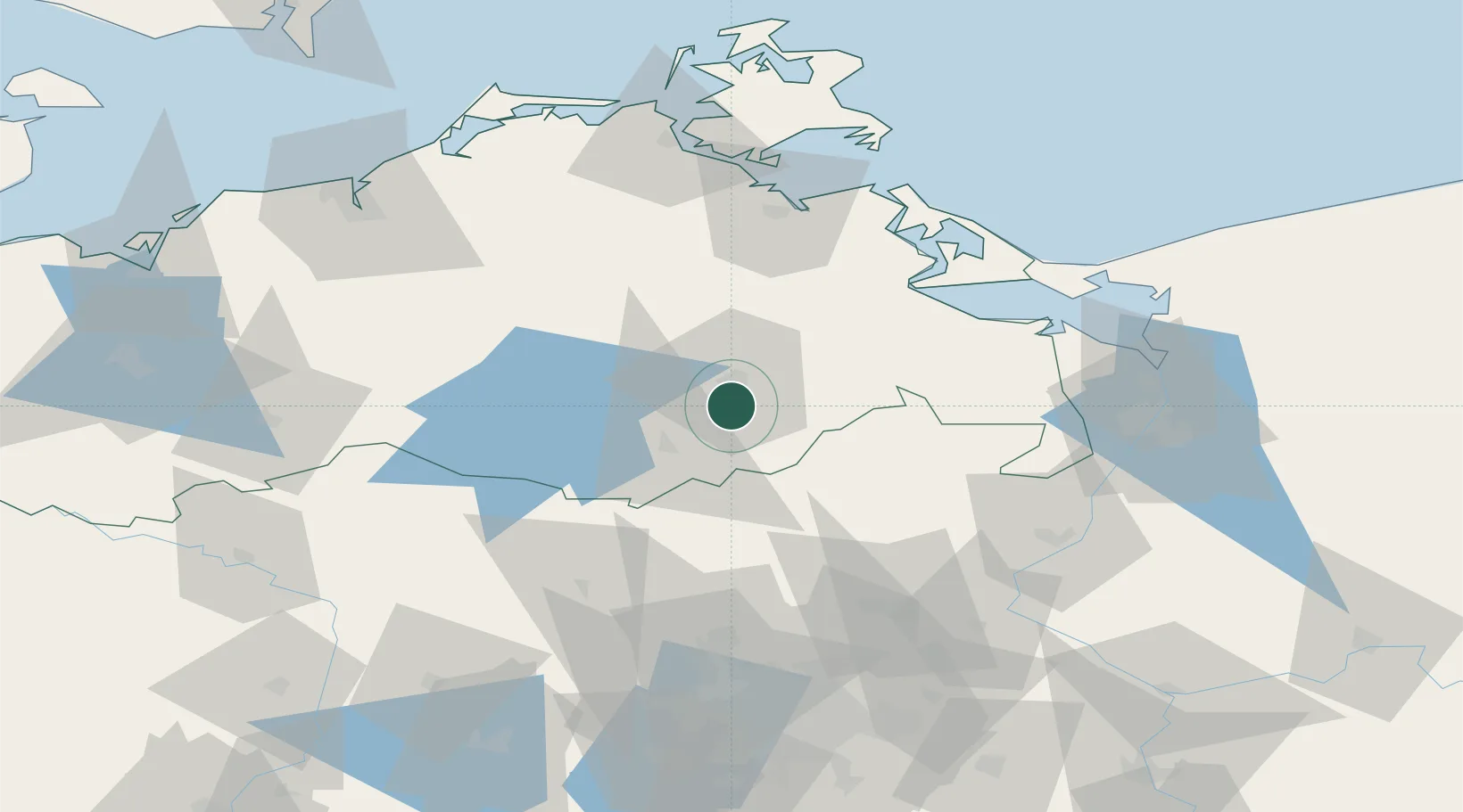
Location
Nearby Logistics Neighbours
Cities
- 1Trollenhagen13 km
- 2Helpt22 km
- 3Altentreptow22 km
- 4Friedland28 km
- 5Wittstock31 km
Ports
- 1Wolgast72 km
- 2Swinoujscie82 km
- 3Szczecin85 km
- 4Police86 km
- 5Stralsund93 km
Airports
Trade Zones
- 1Swinoujscie Duty Free Zone81 km
- 2Szczecin Duty Free Zone87 km
- 3Kostrzyń-Słubice SEZ135 km
- 4Freeport of Kiel224 km
- 5MTS Malmö Transport and Spedition236 km
DatabookThe Record of Consolidated Knowledge
Germany beyond logistics?