Transport Functions
Rail
Road
Hub Profile
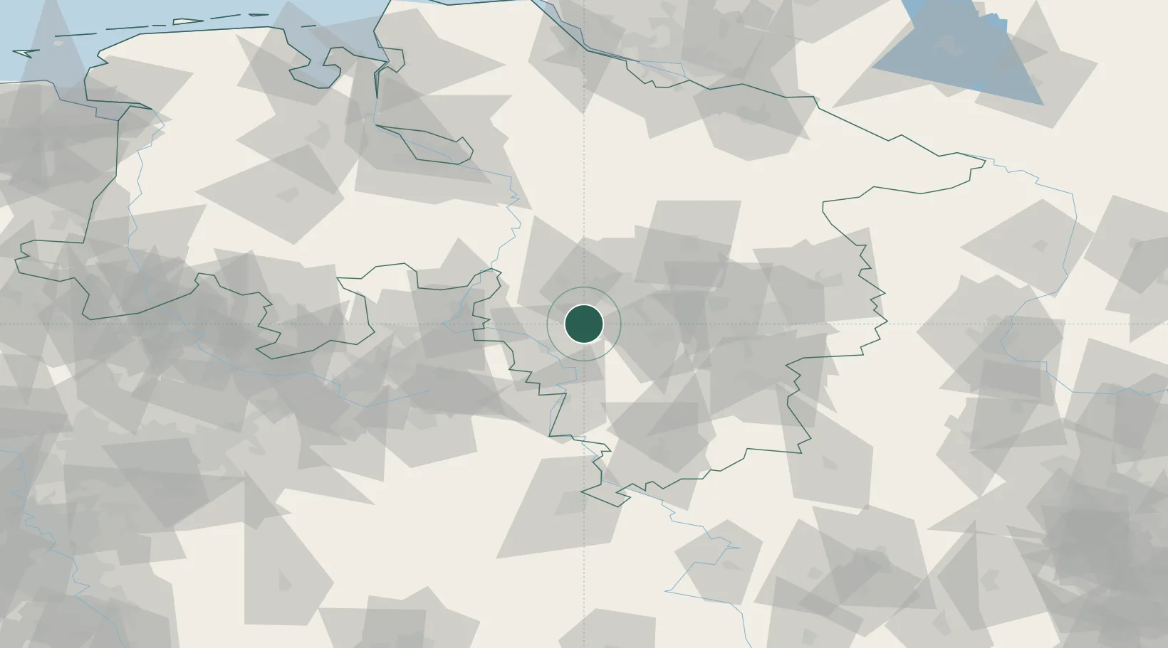
Place type
Local administrative seat
Region
Lower Saxony
Population
29,828
Time zone
Europe/Berlin
Elevation
110 m
Location
Nearby Logistics Neighbours
Cities
- 1Wennigsen8 km
- 2Eldagsen9 km
- 3Barsinghausen12 km
- 4Osterwald12 km
- 5Hulsede13 km
Airports
- 1Wunstorf Air Base28 km
- 2Hannover Airport29 km
- 3Bückeburg Air Base33 km
- 4Celle Army Airfield53 km
- 5Braunschweig-Wolfsburg Airport69 km
Trade Zones
DatabookThe Record of Consolidated Knowledge
Germany beyond logistics?