Transport Functions
Rail
Road
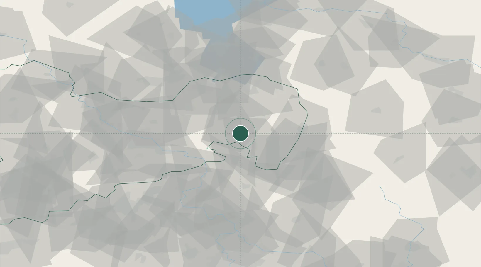
Hub Profile
Place type
Local administrative seat
Region
Saxony
Population
5,601
Time zone
Europe/Berlin
Elevation
290 m
Location
Nearby Logistics Neighbours
Cities
- 1Grosspostwitz4 km
- 2Kirschau6 km
- 3Wilthen7 km
- 4Hochkirch8 km
- 5Sluknov10 km
Ports
- 1Szczecin258 km
- 2Police274 km
- 3Swinoujscie314 km
- 4Wolgast332 km
- 5Kolobrzeg354 km
Airports
- 1Rothenburg/Görlitz Airfield43 km
- 2Dresden Airport51 km
- 3Vodochody Airport99 km
- 4Kostomlaty Airstrip104 km
- 5Prague–Kbely Air Base109 km
Trade Zones
- 1Most - Joseph Industrial Zone91 km
- 2Legnica SEZ (Legnicka SSE)102 km
- 3Žatec - Triangle Strategic Industrial Zone104 km
- 4Kamienna Góra112 km
- 5Podbořany Industrial Zone124 km
DatabookThe Record of Consolidated Knowledge
Germany beyond logistics?