Transport Functions
Rail
Road
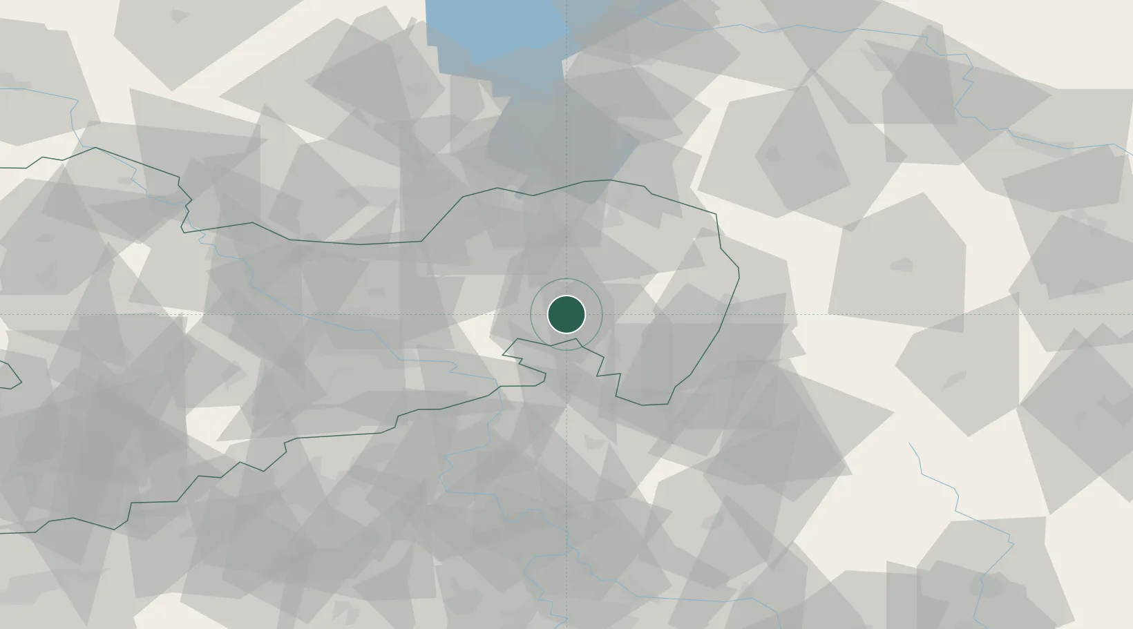
Hub Profile
Region
SN
Location
Nearby Logistics Neighbours
Cities
- 1Kirschau3 km
- 2Wilthen4 km
- 3Cunewalde4 km
- 4Doberschau-Gassig8 km
- 5Gaussig9 km
Ports
- 1Szczecin256 km
- 2Police273 km
- 3Swinoujscie312 km
- 4Wolgast329 km
- 5Kolobrzeg353 km
Airports
- 1Rothenburg/Görlitz Airfield44 km
- 2Dresden Airport48 km
- 3Vodochody Airport100 km
- 4Kostomlaty Airstrip106 km
- 5Prague–Kbely Air Base111 km
Trade Zones
- 1Most - Joseph Industrial Zone90 km
- 2Žatec - Triangle Strategic Industrial Zone103 km
- 3Legnica SEZ (Legnicka SSE)105 km
- 4Kamienna Góra116 km
- 5Podbořany Industrial Zone123 km
DatabookThe Record of Consolidated Knowledge
Germany beyond logistics?