Transport Functions
Rail
Road
Hub Profile
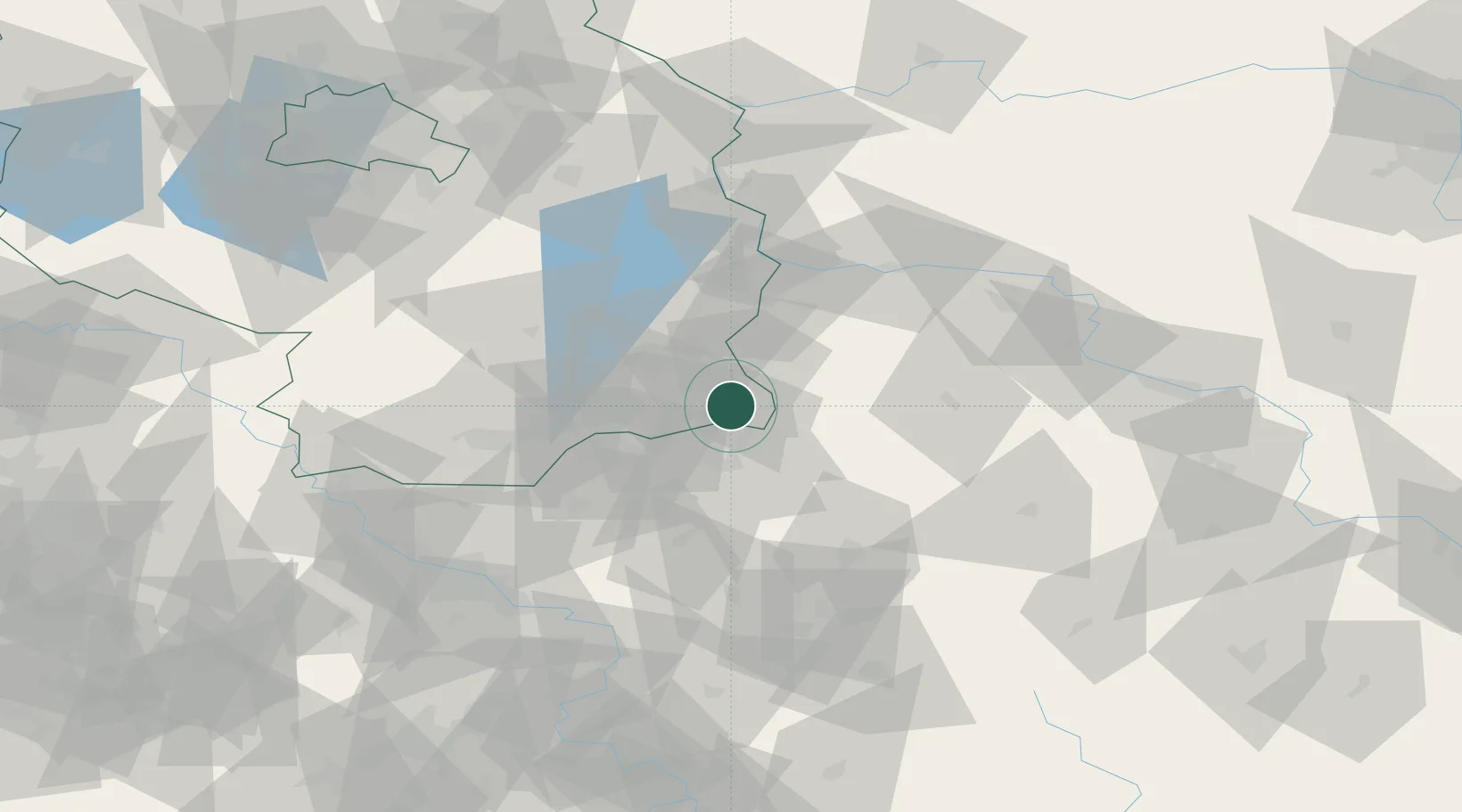
Region
BB
Location
Nearby Logistics Neighbours
Cities
- 1Forst13 km
- 2Mühlrose14 km
- 3Spremberg18 km
- 4Schwarze Pumpe20 km
- 5Nochten20 km
Ports
- 1Szczecin200 km
- 2Police217 km
- 3Swinoujscie257 km
- 4Wolgast276 km
- 5Kolobrzeg296 km
Airports
- 1Rothenburg/Görlitz Airfield37 km
- 2Dresden Airport79 km
- 3Holzdorf Air Base100 km
- 4Zielona Góra-Babimost Airport101 km
- 5Berlin Brandenburg Airport112 km
Trade Zones
- 1Legnica SEZ (Legnicka SSE)100 km
- 2Kostrzyń-Słubice SEZ109 km
- 3Kamienna Góra136 km
- 4Most - Joseph Industrial Zone143 km
- 5Wałbrzych SEZ INVEST-PARK (Wałbrzyska SSE)148 km
DatabookThe Record of Consolidated Knowledge
Germany beyond logistics?