UN/LOCODE hub · Germany
DEMWF
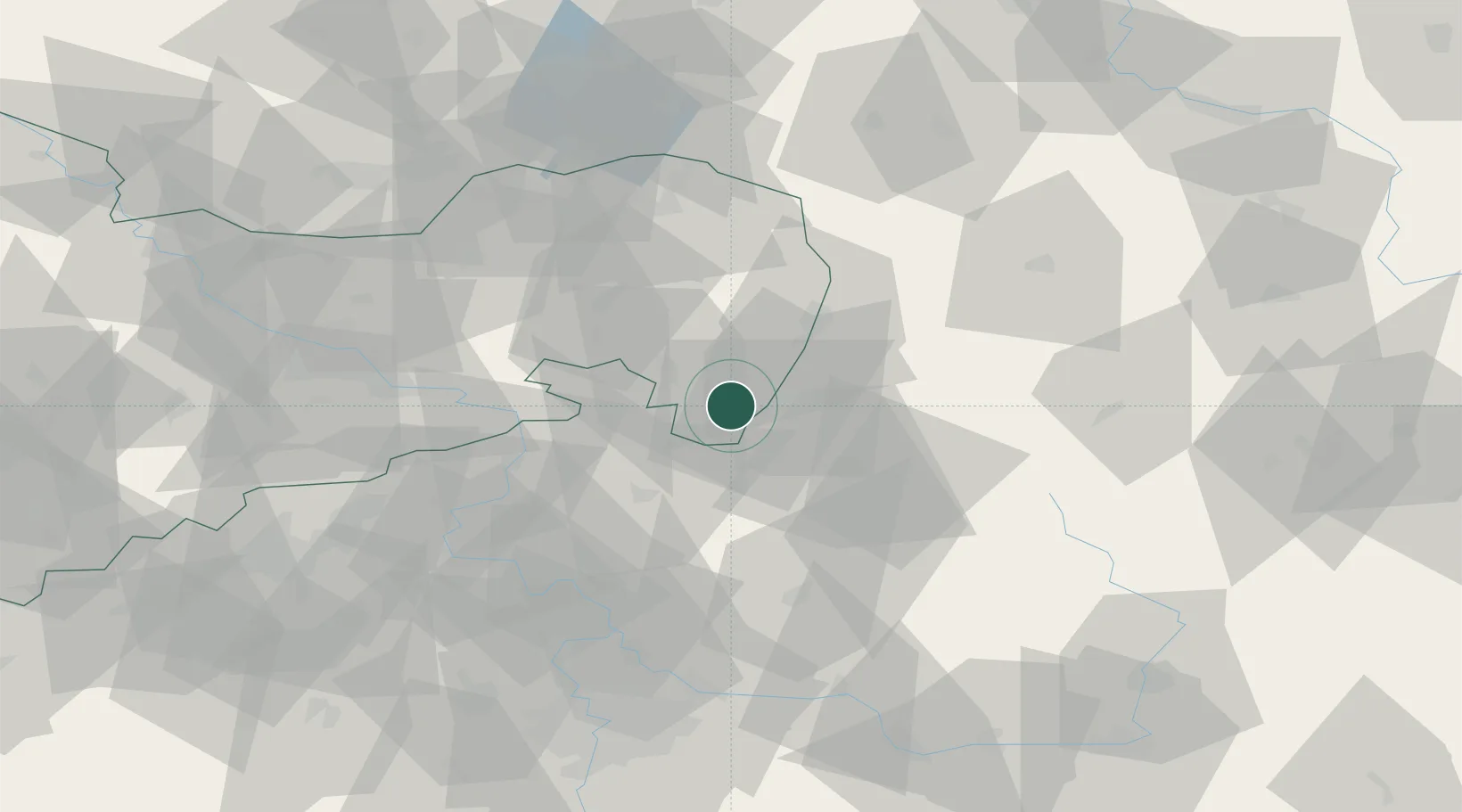
Mittelherwigsdorf
50.9167°, 14.7667°
4,334
Population
3
Transport functions
Transport Functions
Port
Rail
Road
Hub Profile
Place type
Local administrative seat
Region
Saxony
Population
4,334
Time zone
Europe/Berlin
Elevation
296 m
Location
Nearby Logistics Neighbours
Cities
- 1Olbersdorf4 km
- 2Hainewalde5 km
- 3Spitzkunnersdorf6 km
- 4Grosschönau6 km
- 5Eibau10 km
Ports
- 1Szczecin278 km
- 2Police295 km
- 3Swinoujscie335 km
- 4Wolgast355 km
- 5Kolobrzeg371 km
Airports
- 1Rothenburg/Görlitz Airfield51 km
- 2Dresden Airport74 km
- 3Kostomlaty Airstrip80 km
- 4Vodochody Airport82 km
- 5Prague–Kbely Air Base90 km
Trade Zones
DatabookThe Record of Consolidated Knowledge
Germany beyond logistics?