Transport Functions
Rail
Road
Hub Profile
Place type
Populated place
Region
Lower Saxony
Population
18,718
Time zone
Europe/Berlin
Elevation
65 m
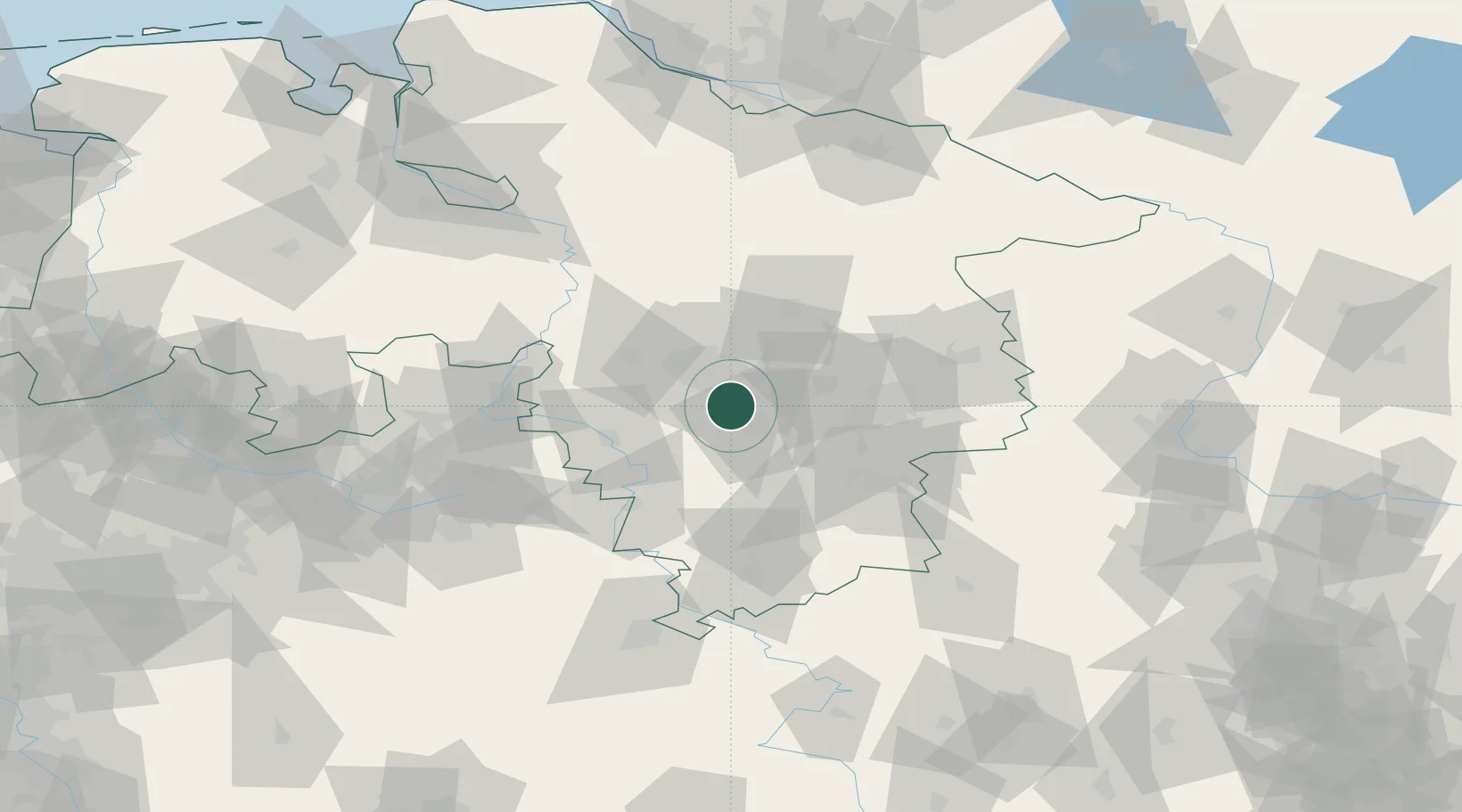
Location
Nearby Logistics Neighbours
Cities
- 1Giesen5 km
- 2Algermissen8 km
- 3Harsum8 km
- 4Laatzen10 km
- 5Hemmingen12 km
Airports
- 1Hannover Airport28 km
- 2Wunstorf Air Base38 km
- 3Celle Army Airfield42 km
- 4Braunschweig-Wolfsburg Airport49 km
- 5Bückeburg Air Base53 km
Trade Zones
DatabookThe Record of Consolidated Knowledge
Germany beyond logistics?