Transport Functions
Rail
Road
Hub Profile
Place type
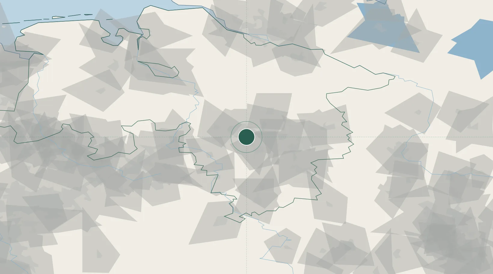
Populated place
Region
Lower Saxony
Population
40,038
Time zone
Europe/Berlin
Elevation
71 m
Location
Nearby Logistics Neighbours
Airports
- 1Hannover Airport18 km
- 2Wunstorf Air Base30 km
- 3Celle Army Airfield34 km
- 4Bückeburg Air Base49 km
- 5Braunschweig-Wolfsburg Airport51 km
Trade Zones
DatabookThe Record of Consolidated Knowledge
Germany beyond logistics?