UN/LOCODE hub · Germany
DERZE

Wriezen

52.7167°, 14.1333°
8,213
Population
2
Transport functions

Transport Functions

Port
Road
UN/LOCODE

Hub Profile

Place type
Populated place
GeoNames
Region
Brandenburg
GeoNames
Population
8,213
GeoNames
Time zone
Europe/Berlin
GeoNames
Elevation
12 m
GeoNames

Location

Location of DERZE
Natural Earth 10m (public domain) · Brandenburg · DERZE · 52.72, 14.13GoogleOSMYandex

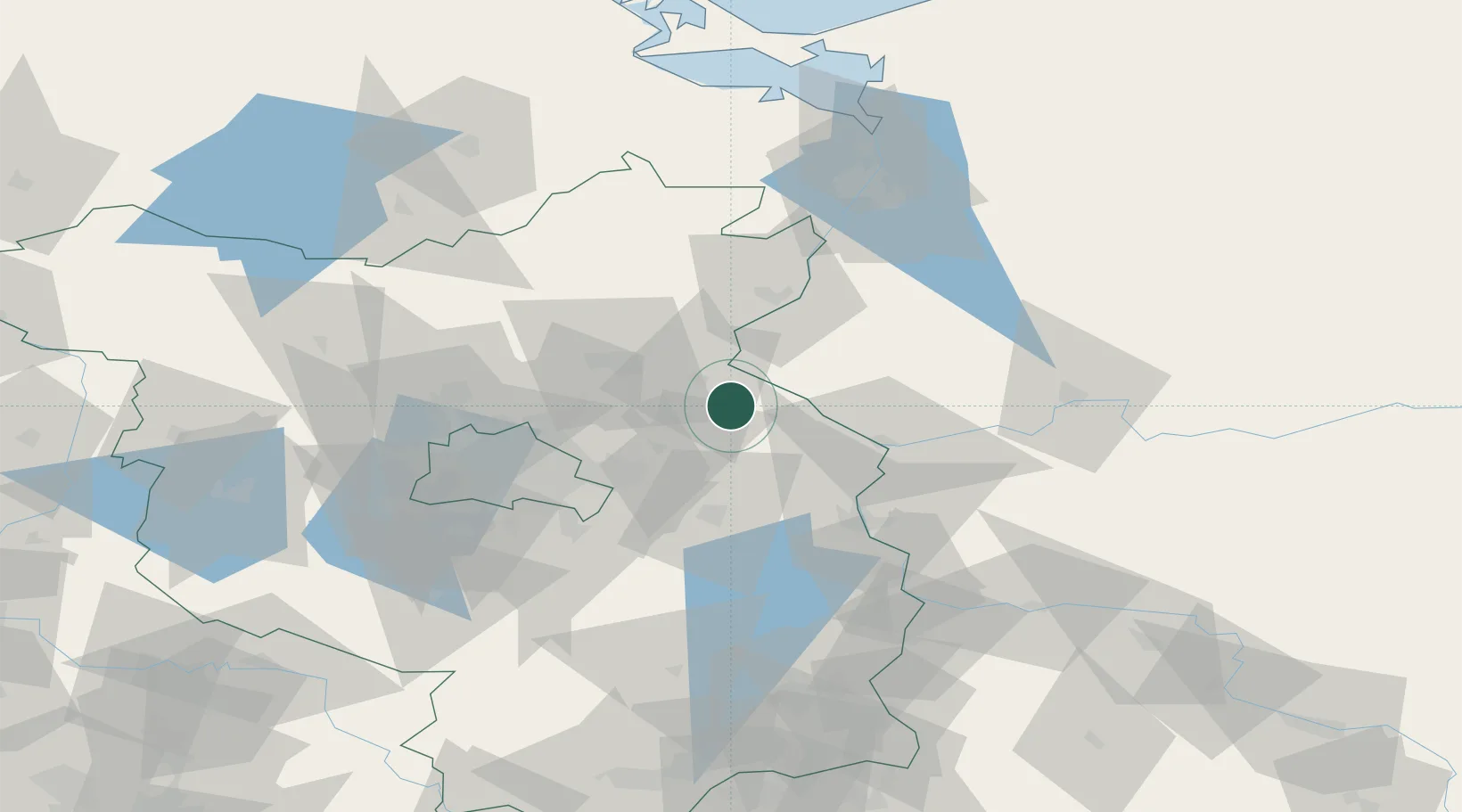
Nearby Logistics Neighbours

Cities
  1. 1Bad Freienwalde10 km
  2. 2Osinów Dolny15 km
  3. 3Bralitz16 km
  4. 4Hohensaaten17 km
  5. 5Tiefensee19 km
Nearest neighbours — logibook spatial index (haversine) over the source coordinates
Ports
  1. 1Szczecin83 km
  2. 2Police99 km
  3. 3Swinoujscie134 km
  4. 4Wolgast150 km
  5. 5Stralsund191 km
Nearest neighbours — logibook spatial index (haversine) over the source coordinates
Airports
  1. 1Berlin Brandenburg Airport58 km
  2. 2Solidarity Szczecin–Goleniów Airport109 km
  3. 3Neubrandenburg Trollenhagen Airport113 km
  4. 4Holzdorf Air Base124 km
  5. 5Heringsdorf Airport129 km
Nearest neighbours — logibook spatial index (haversine) over the source coordinates
Trade Zones
  1. 1Kostrzyń-Słubice SEZ37 km
  2. 2Szczecin Duty Free Zone84 km
  3. 3Swinoujscie Duty Free Zone132 km
  4. 4Legnica SEZ (Legnicka SSE)202 km
  5. 5Most - Joseph Industrial Zone251 km
Nearest neighbours — logibook spatial index (haversine) over the source coordinates
DatabookThe Record of Consolidated Knowledge
Germany beyond logistics?
Browse databook

All Sources

LocationsUN/LOCODE
UN/LOCODE — free
LocationsGeoNames
CC BY 4.0
Portsthe NGA World Port Index
Public domain (US gov)
AirportsOurAirports
Public domain
Trade Zonesthe World Bank SEZ database
CC BY 4.0
Trade ZonesOpen Zone Map
CC BY
← Germany locations