Transport Functions
Port
Road
Hub Profile
Place type
Populated place
Region
Brandenburg
Time zone
Europe/Berlin
Elevation
8 m
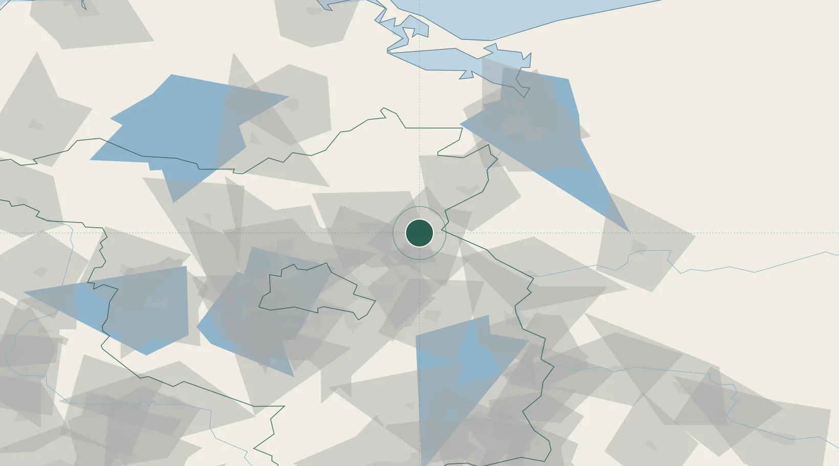
Location
Nearby Logistics Neighbours
Cities
- 1Bad Freienwalde6 km
- 2Osinów Dolny10 km
- 3Hohensaaten11 km
- 4Eberswalde11 km
- 5Lunow12 km
Ports
- 1Szczecin75 km
- 2Police90 km
- 3Swinoujscie122 km
- 4Wolgast136 km
- 5Stralsund175 km
Airports
Trade Zones
- 1Kostrzyń-Słubice SEZ51 km
- 2Szczecin Duty Free Zone76 km
- 3Swinoujscie Duty Free Zone120 km
- 4Legnica SEZ (Legnicka SSE)218 km
- 5Most - Joseph Industrial Zone262 km
DatabookThe Record of Consolidated Knowledge
Germany beyond logistics?