Transport Functions
Port
Road
Hub Profile
Place type
Populated place
Region
Brandenburg
Population
780
Time zone
Europe/Berlin
Elevation
5 m
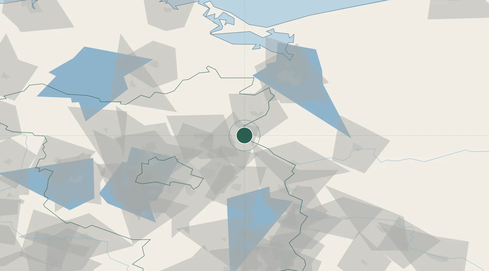
Location
Nearby Logistics Neighbours
Cities
- 1Osinów Dolny2 km
- 2Lunow6 km
- 3Bielinek7 km
- 4Bralitz11 km
- 5Bad Freienwalde12 km
Ports
- 1Szczecin67 km
- 2Police83 km
- 3Swinoujscie117 km
- 4Wolgast134 km
- 5Stralsund176 km
Airports
Trade Zones
- 1Kostrzyń-Słubice SEZ45 km
- 2Szczecin Duty Free Zone68 km
- 3Swinoujscie Duty Free Zone115 km
- 4Legnica SEZ (Legnicka SSE)214 km
- 5Słupsk SEZ (Słupska SSE)260 km
DatabookThe Record of Consolidated Knowledge
Germany beyond logistics?