Transport Functions
Rail
Road
Hub Profile
Place type
Populated place
Region
Brandenburg
Time zone
Europe/Berlin
Elevation
95 m
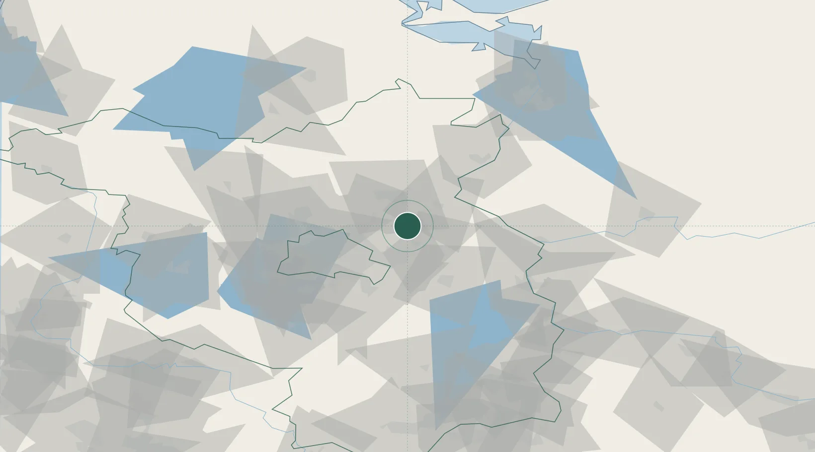
Location
Nearby Logistics Neighbours
Cities
- 1Willmersdorf11 km
- 2Bad Freienwalde17 km
- 3Eberswalde17 km
- 4Petershagen/Eggersdorf17 km
- 5Biesenthal17 km
Ports
- 1Szczecin94 km
- 2Police109 km
- 3Swinoujscie140 km
- 4Wolgast152 km
- 5Stralsund188 km
Airports
- 1Berlin Brandenburg Airport43 km
- 2Neubrandenburg Trollenhagen Airport108 km
- 3Holzdorf Air Base112 km
- 4Solidarity Szczecin–Goleniów Airport122 km
- 5Heringsdorf Airport134 km
Trade Zones
- 1Kostrzyń-Słubice SEZ54 km
- 2Szczecin Duty Free Zone95 km
- 3Swinoujscie Duty Free Zone138 km
- 4Legnica SEZ (Legnicka SSE)211 km
- 5Most - Joseph Industrial Zone245 km
DatabookThe Record of Consolidated Knowledge
Germany beyond logistics?