UN/LOCODE hub · Poland
PLOSD

Osinów Dolny

52.8500°, 14.1500°
180
Population
1
Transport functions

Transport Functions

Port
UN/LOCODE

Hub Profile

Place type
Populated place
GeoNames
Region
West Pomerania
GeoNames
Population
180
GeoNames
Time zone
Europe/Warsaw
GeoNames
Elevation
10 m
GeoNames

Location

Location of PLOSD
Natural Earth 10m (public domain) · West Pomerania · PLOSD · 52.85, 14.15GoogleOSMYandex

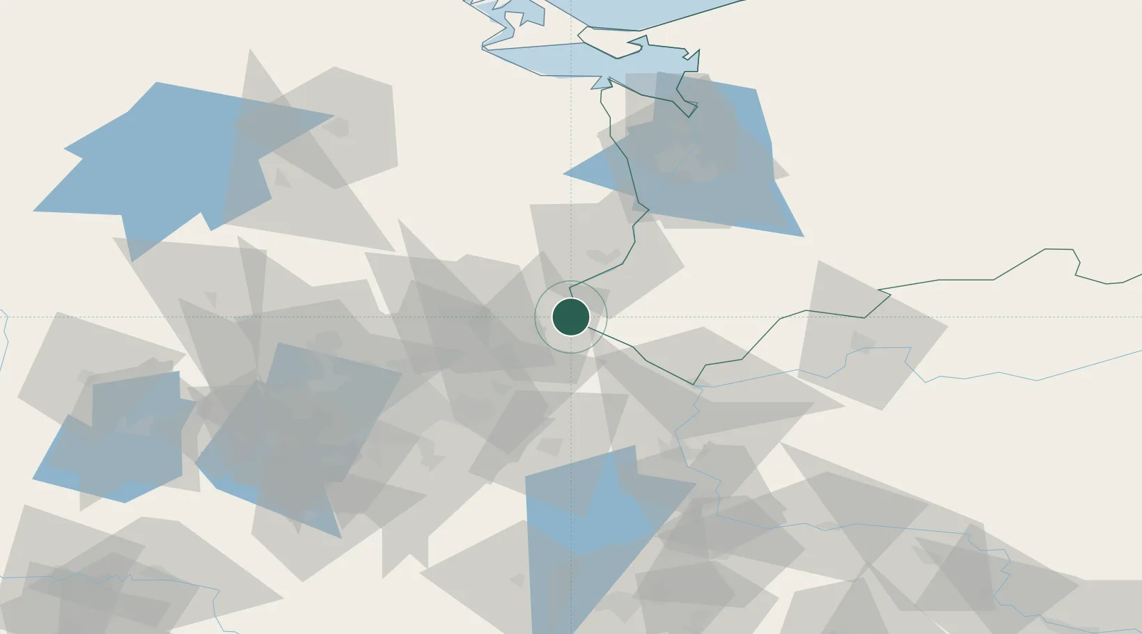
Nearby Logistics Neighbours

Cities
  1. 1Hohensaaten2 km
  2. 2Lunow8 km
  3. 3Bielinek9 km
  4. 4Bralitz10 km
  5. 5Bad Freienwalde11 km
Nearest neighbours — logibook spatial index (haversine) over the source coordinates
Ports
  1. 1Szczecin68 km
  2. 2Police84 km
  3. 3Swinoujscie119 km
  4. 4Wolgast136 km
  5. 5Stralsund177 km
Nearest neighbours — logibook spatial index (haversine) over the source coordinates
Airports
  1. 1Berlin Brandenburg Airport70 km
  2. 2Solidarity Szczecin–Goleniów Airport96 km
  3. 3Neubrandenburg Trollenhagen Airport101 km
  4. 4Heringsdorf Airport114 km
  5. 5Zielona Góra-Babimost Airport137 km
Nearest neighbours — logibook spatial index (haversine) over the source coordinates
Trade Zones
  1. 1Kostrzyń-Słubice SEZ43 km
  2. 2Szczecin Duty Free Zone69 km
  3. 3Swinoujscie Duty Free Zone117 km
  4. 4Legnica SEZ (Legnicka SSE)213 km
  5. 5Słupsk SEZ (Słupska SSE)261 km
Nearest neighbours — logibook spatial index (haversine) over the source coordinates
DatabookThe Record of Consolidated Knowledge
Poland beyond logistics?
Browse databook

All Sources

LocationsUN/LOCODE
UN/LOCODE — free
LocationsGeoNames
CC BY 4.0
Portsthe NGA World Port Index
Public domain (US gov)
AirportsOurAirports
Public domain
Trade Zonesthe World Bank SEZ database
CC BY 4.0
Trade ZonesOpen Zone Map
CC BY
← Poland locations