Transport Functions
Multimodal
Hub Profile
Region
TH
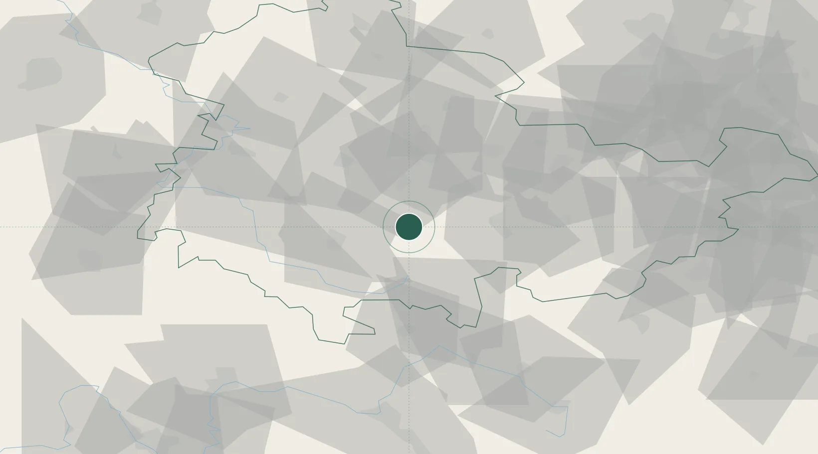
Location
Nearby Logistics Neighbours
Cities
- 1Langewiesen2 km
- 2Gehren4 km
- 3Königsee8 km
- 4Elgersburg10 km
- 5Behringen11 km
Airports
- 1Erfurt-Weimar Airport33 km
- 2Eisenach-Kindel Airport49 km
- 3Hof-Plauen Airport76 km
- 4Bamberg-Breitenau Airfield85 km
- 5Bayreuth Airport91 km
Trade Zones
DatabookThe Record of Consolidated Knowledge
Germany beyond logistics?