Transport Functions
Rail
Road
Hub Profile
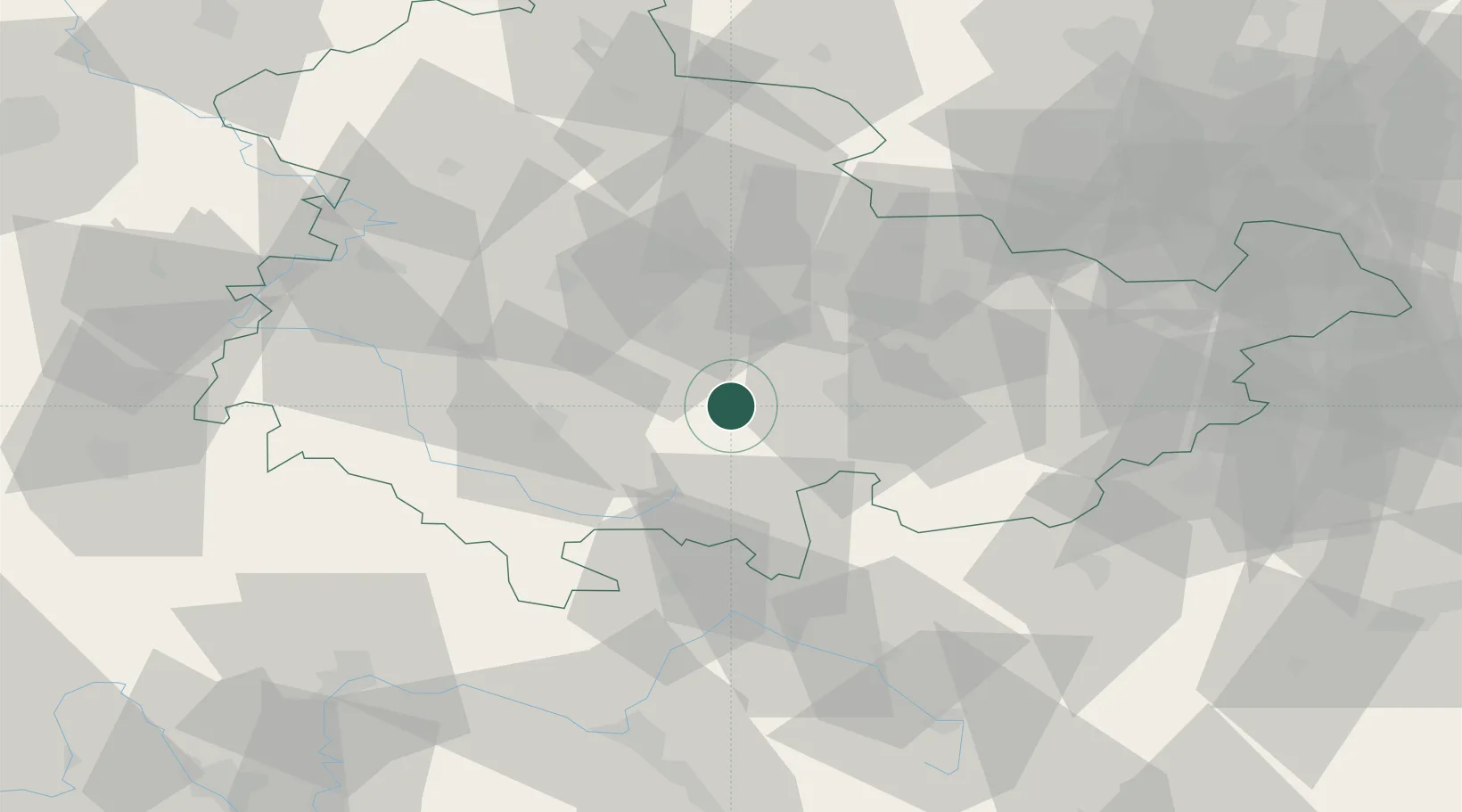
Region
TH
Location
Nearby Logistics Neighbours
Cities
- 1Rottenbach5 km
- 2Gehren7 km
- 3Langewiesen8 km
- 4Wümbach8 km
- 5Stadtilm11 km
Airports
- 1Erfurt-Weimar Airport36 km
- 2Eisenach-Kindel Airport57 km
- 3Hof-Plauen Airport68 km
- 4Bamberg-Breitenau Airfield84 km
- 5Bayreuth Airport85 km
Trade Zones
DatabookThe Record of Consolidated Knowledge
Germany beyond logistics?