UN/LOCODE hub · Germany
DERRP

Weisenheim am Sand

49.5167°, 8.2333°
2
Transport functions

Transport Functions

Port
Multimodal
UN/LOCODE

Hub Profile

Place type
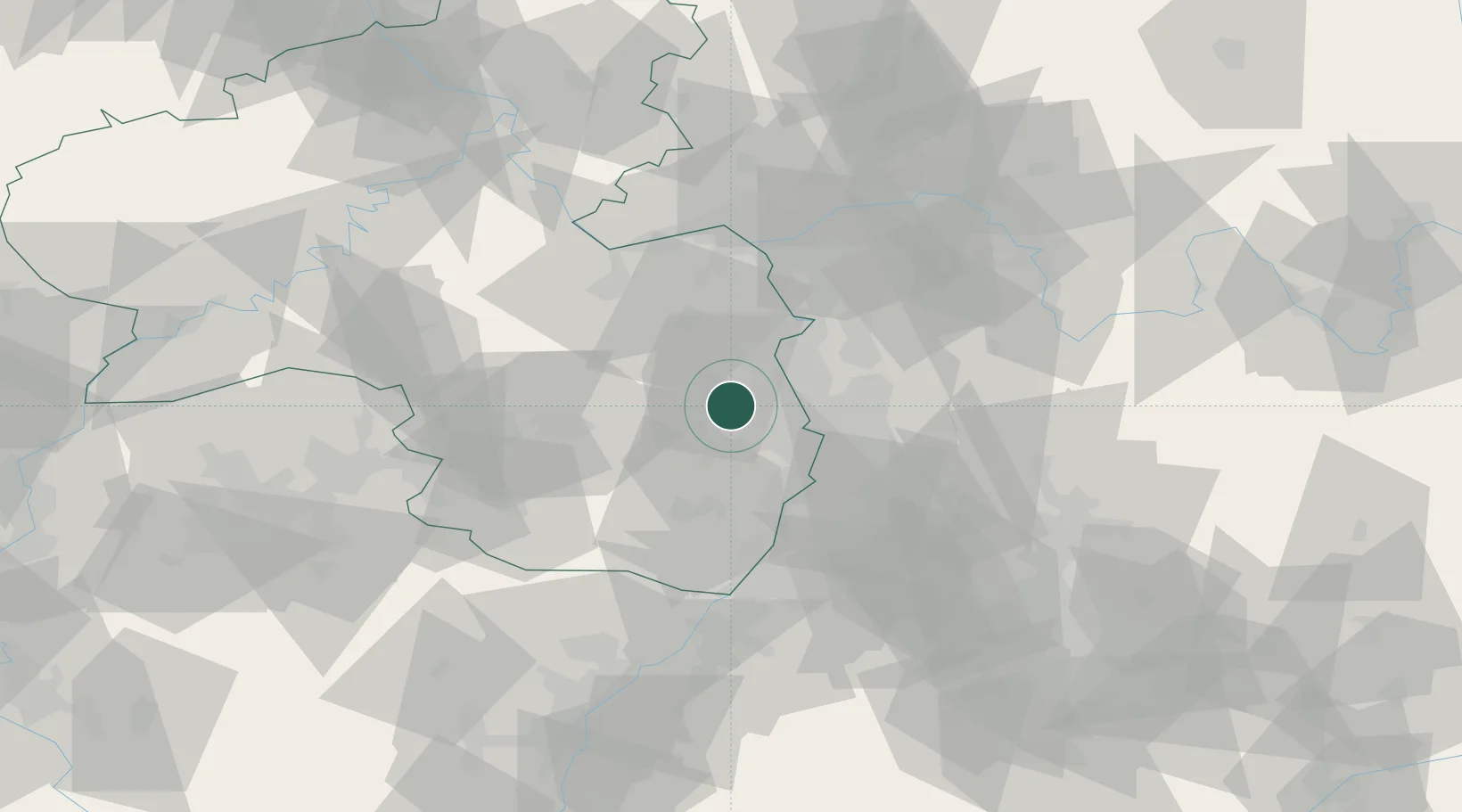
Local administrative seat
GeoNames
Region
Rheinland-Pfalz
GeoNames
Time zone
Europe/Berlin
GeoNames
Elevation
109 m
GeoNames

Location

Location of DERRP
Natural Earth 10m (public domain) · Rheinland-Pfalz · DERRP · 49.52, 8.23GoogleOSMYandex

Nearby Logistics Neighbours

Cities
  1. 1Grosskarlbach2 km
  2. 2Bissersheim3 km
  3. 3Dackenheim4 km
  4. 4Dirmstein4 km
  5. 5Lambsheim4 km
Nearest neighbours — logibook spatial index (haversine) over the source coordinates
Ports
  1. 1Bruxelles315 km
  2. 2Antwerpen331 km
  3. 3Dordrecht359 km
  4. 4Hansweert369 km
  5. 5Rotterdam374 km
Nearest neighbours — logibook spatial index (haversine) over the source coordinates
Airports
  1. 1Mannheim-City Airport21 km
  2. 2Ramstein Air Base47 km
  3. 3Mainz-Finthen Airfield51 km
  4. 4Frankfurt-Egelsbach Airport57 km
  5. 5Wiesbaden Army Airfield60 km
Nearest neighbours — logibook spatial index (haversine) over the source coordinates
Trade Zones
  1. 1ZFU La Cité Behren-lès-Forbach102 km
  2. 2ZFU Hautepierre110 km
  3. 3ZFU Neuhof114 km
  4. 4Luxembourg Free Port146 km
  5. 5ZFU Woippy-Metz156 km
Nearest neighbours — logibook spatial index (haversine) over the source coordinates
DatabookThe Record of Consolidated Knowledge
Germany beyond logistics?
Browse databook

All Sources

LocationsUN/LOCODE
UN/LOCODE — free
Portsthe NGA World Port Index
Public domain (US gov)
AirportsOurAirports
Public domain
Trade Zonesthe World Bank SEZ database
CC BY 4.0
Trade ZonesOpen Zone Map
CC BY
← Germany locations