Runway & Layout

Airport Specifications
Airport class
Medium airport
Scheduled service
No
Served city
Kurchatov
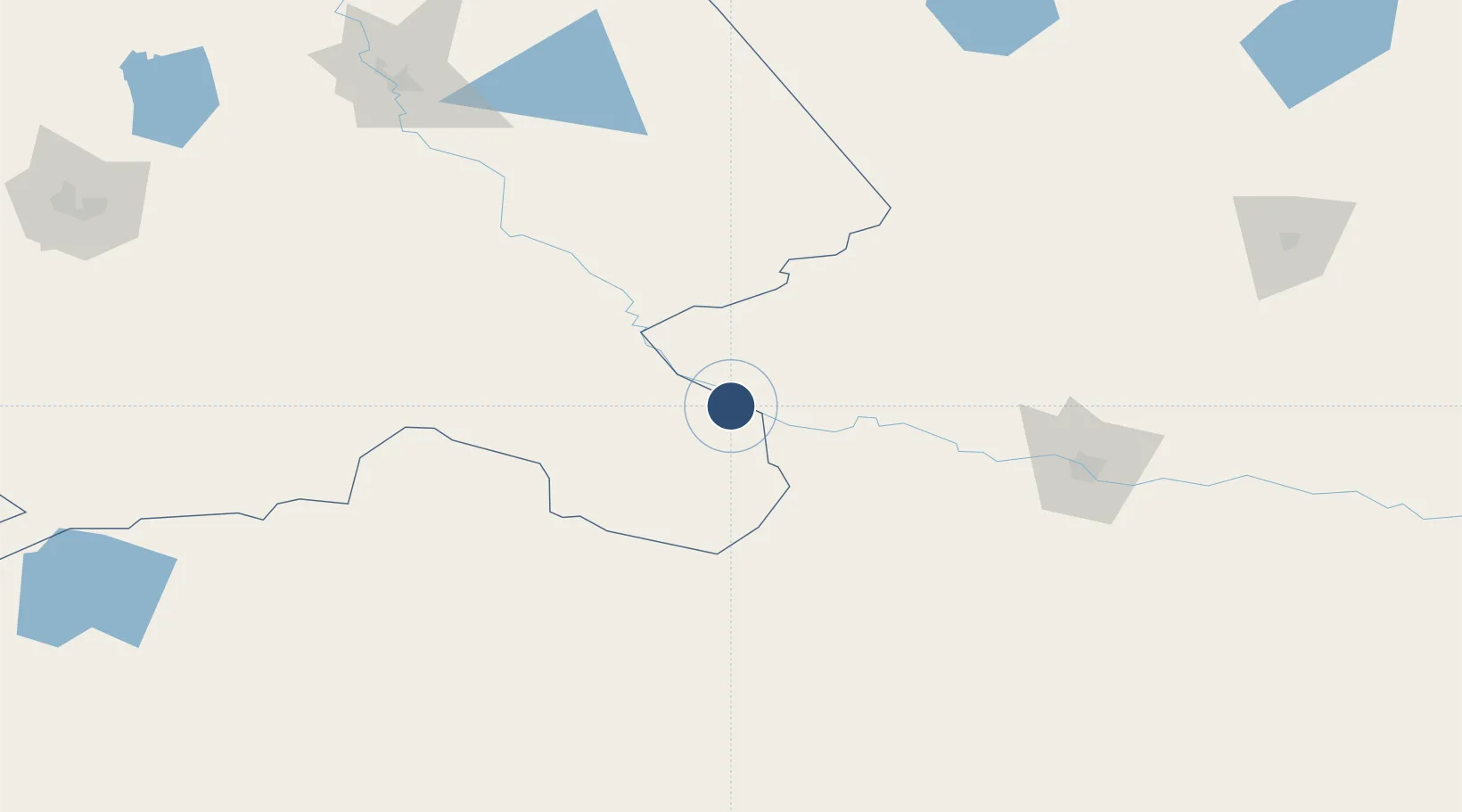
Location
Nearby Logistics Neighbours
Airports
- 1Dolon Air Base51 km
- 2Semei International Airport127 km
- 3Pavlodar International Airport191 km
- 4Ekibastuz Airport251 km
- 5Zhangiztobe Air Base261 km
Cities
- 1Waigandshain162 km
- 2Löhnberg245 km
- 3Dernbach321 km
- 4Erbenheim325 km
- 5Aleysk351 km
Ports
- 1Igarka1912 km
- 2Dudinka2114 km
- 3Port Dikson2534 km
- 4Muhamamad Bin Qasim3043 km
- 5Karachi3051 km
Trade Zones
DatabookThe Record of Consolidated Knowledge
Kazakhstan beyond logistics?