Transport Functions
Port
Multimodal
Hub Profile
Place type
Populated place
Region
Brandenburg
Time zone
Europe/Berlin
Elevation
80 m
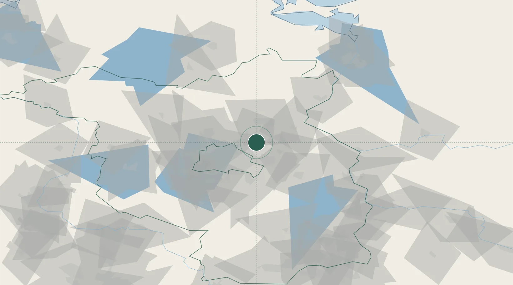
Location
Nearby Logistics Neighbours
Cities
- 1Bernau7 km
- 2Panketal10 km
- 3Tiefensee11 km
- 4Ahrensfelde12 km
- 5Biesenthal12 km
Ports
- 1Szczecin102 km
- 2Police116 km
- 3Swinoujscie144 km
- 4Wolgast154 km
- 5Stralsund188 km
Airports
- 1Berlin Brandenburg Airport36 km
- 2Holzdorf Air Base106 km
- 3Neubrandenburg Trollenhagen Airport107 km
- 4Zerbst Airfield128 km
- 5Solidarity Szczecin–Goleniów Airport131 km
Trade Zones
- 1Kostrzyń-Słubice SEZ65 km
- 2Szczecin Duty Free Zone103 km
- 3Swinoujscie Duty Free Zone142 km
- 4Legnica SEZ (Legnicka SSE)218 km
- 5Most - Joseph Industrial Zone243 km
DatabookThe Record of Consolidated Knowledge
Germany beyond logistics?