Transport Functions
Port
Hub Profile
Place type
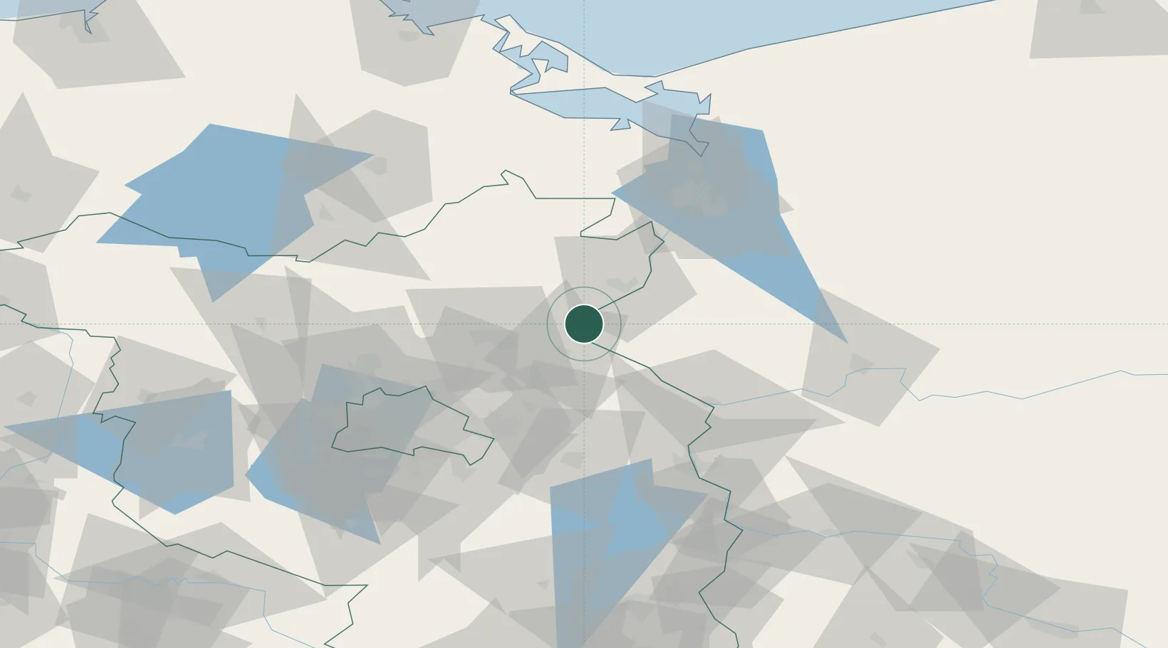
Populated place
Region
Brandenburg
Time zone
Europe/Berlin
Elevation
11 m
Location
Nearby Logistics Neighbours
Cities
- 1Bielinek3 km
- 2Hohensaaten6 km
- 3Osinów Dolny8 km
- 4Bralitz12 km
- 5Gross Ziethen16 km
Ports
- 1Szczecin63 km
- 2Police78 km
- 3Swinoujscie112 km
- 4Wolgast128 km
- 5Stralsund170 km
Airports
Trade Zones
- 1Kostrzyń-Słubice SEZ50 km
- 2Szczecin Duty Free Zone64 km
- 3Swinoujscie Duty Free Zone110 km
- 4Legnica SEZ (Legnicka SSE)220 km
- 5Słupsk SEZ (Słupska SSE)258 km
DatabookThe Record of Consolidated Knowledge
Germany beyond logistics?